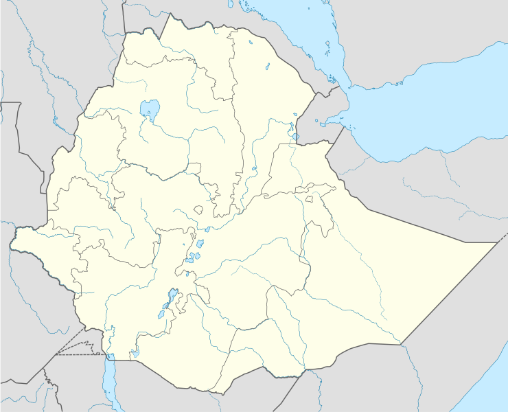
File:Ethiopia location map.svg

Size of this PNG preview of this SVG file: 740 × 600 pixels. Other resolutions: 296 × 240 pixels | 593 × 480 pixels | 948 × 768 pixels | 1,264 × 1,024 pixels | 2,528 × 2,048 pixels | 1,844 × 1,494 pixels.
Original file (SVG file, nominally 1,844 × 1,494 pixels, file size: 711 KB)
Captions
Captions
Add a one-line explanation of what this file represents
Summary
edit| Description |
Deutsch: Positionskarte von Äthiopien
Quadratische Plattkarte, N-S-Streckung 102 %. Geographische Begrenzung der Karte:
English: Location map of Ethiopia
Equirectangular projection, N/S stretching 102 %. Geographic limits of the map:
|
| Date | |
| Source |
Own work, using
|
| Author | NordNordWest |
| Permission (Reusing this file) |
I, the copyright holder of this work, hereby publish it under the following license: This file is licensed under the Creative Commons Attribution-Share Alike 3.0 Unported license.
|
| Other versions |
|


|
This map has been made or improved in the German Kartenwerkstatt (Map Lab). You can propose maps to improve as well.
|
File history
Click on a date/time to view the file as it appeared at that time.
| Date/Time | Thumbnail | Dimensions | User | Comment | |
|---|---|---|---|---|---|
| current | 22:52, 12 October 2021 | | 1,844 × 1,494 (711 KB) | Gebagebo (talk | contribs) | Added dotted line for Somaliland |
| 14:20, 23 May 2012 |  | 1,844 × 1,494 (704 KB) | NordNordWest (talk | contribs) | upd | |
| 17:55, 10 July 2011 |  | 1,843 × 1,494 (349 KB) | NordNordWest (talk | contribs) | upd | |
| 19:29, 11 September 2009 |  | 1,843 × 1,494 (587 KB) | NordNordWest (talk | contribs) | =={{int:filedesc}}== {{Information |Description= {{de|Positionskarte von Äthiopien}} Quadratische Plattkarte, N-S-Streckung 102 %. Geographische Begrenzung der Karte: * N: 15.3° N * S: 2.9° N * W: 32.7° O * O: 48.3° O {{en|Location |
You cannot overwrite this file.
File usage on Commons
The following 17 pages use this file:
- User:NordNordWest/Gallery/Location maps
- File:Addis Ababa in Ethiopia.svg
- File:Addis Ababa in Ethiopia (special marker).svg
- File:Afar in Ethiopia.svg
- File:Amhara in Ethiopia.svg
- File:Benishangul-Gumuz in Ethiopia.svg
- File:Central Ethiopia in Ethiopia.svg
- File:Dire Dawa in Ethiopia.svg
- File:Dire Dawa in Ethiopia (special marker).svg
- File:Ethiopia relief location map.jpg
- File:Gambela in Ethiopia.svg
- File:Harari in Ethiopia.svg
- File:Harari in Ethiopia (special marker).svg
- File:Oromia in Ethiopia.svg
- File:South Ethiopia in Ethiopia.svg
- File:Southern Nations, Nationalities, and People's Region in Ethiopia.svg
- File:Tigray in Ethiopia.svg
.svg)
.svg)
.svg)
File usage on other wikis
The following other wikis use this file:
- Usage on af.wikipedia.org
- Usage on an.wikipedia.org
- Usage on ar.wikipedia.org
- Usage on arz.wikipedia.org
- Usage on be-tarask.wikipedia.org
- Usage on bg.wikipedia.org
- Usage on bn.wikipedia.org
- Usage on bs.wikipedia.org
- Usage on ce.wikipedia.org
- Usage on ckb.wikipedia.org
- Usage on de.wikipedia.org
- Usage on eo.wikipedia.org
- Usage on fa.wikipedia.org
- Usage on fr.wikipedia.org
- Usage on he.wikivoyage.org
View more global usage of this file.