File:Europe blank laea location map no boundaries.svg

Size of this PNG preview of this SVG file: 701 × 599 pixels. Other resolutions: 281 × 240 pixels | 561 × 480 pixels | 898 × 768 pixels | 1,198 × 1,024 pixels | 2,395 × 2,048 pixels | 1,401 × 1,198 pixels.
Original file (SVG file, nominally 1,401 × 1,198 pixels, file size: 1.72 MB)
Captions
Captions
Add a one-line explanation of what this file represents
Summary edit
| Description |
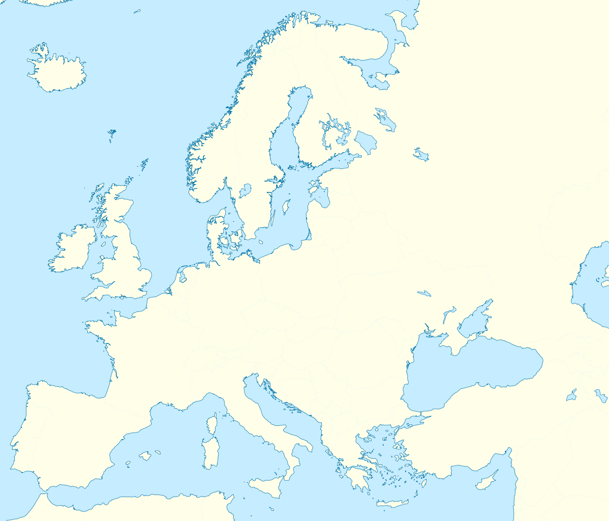
Deutsch: Positionskarte Europa; Politisch mit Staatsgrenzen; Flächentreue Azimutalprojektion English: Location map Europe; Political with state boundaries; Lambert azimuthal equal-area projection * Projection: LAEA Europe, EPSG:3035 * Longitude of projection center: 10° E * Latitude of projection center: 52° N * Map extent (LAEA Europe) Xmin,Ymin to Xmax, Ymax: 2555000, 1350000 to 7405000, 5500000 * Map extent (WGS84) (lon,lat of lower left and upper right corner): -8.9067, 33.2307 to 72.9617, 58.9174 |
| Date | (UTC) |
| Source |
This file was derived from: Europe blank laea location map.svg: |
| Author |
|
Licensing edit
I, the copyright holder of this work, hereby publish it under the following license:
This file is licensed under the Creative Commons Attribution-Share Alike 3.0 Unported license.
- You are free:
- to share – to copy, distribute and transmit the work
- to remix – to adapt the work
- Under the following conditions:
- attribution – You must give appropriate credit, provide a link to the license, and indicate if changes were made. You may do so in any reasonable manner, but not in any way that suggests the licensor endorses you or your use.
- share alike – If you remix, transform, or build upon the material, you must distribute your contributions under the same or compatible license as the original.
Original upload log edit
This image is a derivative work of the following images:
- File:Europe_blank_laea_location_map.svg licensed with Cc-by-sa-3.0
- 2010-03-11T20:50:37Z Alexrk2 1401x1198 (1928257 Bytes) fixing inland water
- 2010-03-11T19:58:40Z Alexrk2 1401x1198 (1920292 Bytes) == Summary == {{Information |Description= {{de|Positionskarte [[:de:Europa|Europa]]; Politisch mit Staatsgrenzen; Flächentreue Azimutalprojektion}} {{en|Location map [[:en:Europe|Europe]]; Political with state boundaries; La
Uploaded with derivativeFX
File history
Click on a date/time to view the file as it appeared at that time.
| Date/Time | Thumbnail | Dimensions | User | Comment | |
|---|---|---|---|---|---|
| current | 17:42, 17 May 2012 | | 1,401 × 1,198 (1.72 MB) | Otourly (talk | contribs) | == {{int:filedesc}} == {{Information |Description={{de|Positionskarte Europa; Politisch mit Staatsgrenzen; Flächentreue Azimutalprojektion}} {{en|Location map Europe; Political with state boundaries; Lambert azimuthal equ... |
You cannot overwrite this file.
File usage on Commons
There are no pages that use this file.