File:Europe location ENG2.png

Size of this preview: 800 × 599 pixels. Other resolutions: 320 × 240 pixels | 640 × 479 pixels | 1,024 × 767 pixels | 1,280 × 959 pixels | 1,594 × 1,194 pixels.
Original file (1,594 × 1,194 pixels, file size: 728 KB, MIME type: image/png)
Captions
Captions
Add a one-line explanation of what this file represents
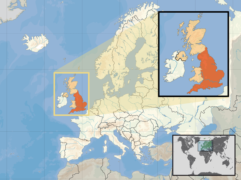
| Description | Location of England in the UK and Europe, on terrain map showing surface and underwater contour areas. | |||
| Date | ||||
| Source | Derived from Wikimedia Commons image of original work forming part of the "Europe location" map series created by David Liuzzo: derived from Image:Europe_location_ENG.png. | |||
| Author | uploaded by User:Kmusser (excerpt from User:David_Liuzzo) | |||
| Permission (Reusing this file) |
|
|||
| Other versions |
|


File history
Click on a date/time to view the file as it appeared at that time.
| Date/Time | Thumbnail | Dimensions | User | Comment | |
|---|---|---|---|---|---|
| current | 14:58, 14 February 2011 | | 1,594 × 1,194 (728 KB) | Beao (talk | contribs) | Removed border. |
| 19:00, 29 September 2008 |  | 1,600 × 1,200 (792 KB) | Kmusser (talk | contribs) | {{Information |Description= Location of England in the UK and Europe, on terrain map showing surface and underwater contour areas. |Source=Derived from Wikimedia Commons image of original work forming part of the "Europe location" map series c |
You cannot overwrite this file.
File usage on Commons
There are no pages that use this file.
File usage on other wikis
The following other wikis use this file:
- Usage on ace.wikipedia.org
- Usage on ar.wikipedia.org
- Usage on az.wiktionary.org
- Usage on bn.wikipedia.org
- Usage on br.wikipedia.org
- Usage on cs.wikipedia.org
- Usage on da.wikipedia.org
- Usage on dsb.wikipedia.org
- Usage on dty.wikipedia.org
- Usage on en.wikipedia.org
- Usage on es.wikipedia.org
- Usage on eu.wiktionary.org
- Usage on ext.wikipedia.org
- Usage on fiu-vro.wikipedia.org
- Usage on hr.wikiquote.org
- Usage on incubator.wikimedia.org
- Usage on ja.wiktionary.org
- Usage on ka.wikipedia.org
- Usage on my.wikipedia.org
- Usage on nds-nl.wikipedia.org
- Usage on nl.wikibooks.org
- Usage on pam.wikipedia.org
- Usage on pl.wikipedia.org
- Usage on pl.wiktionary.org
- Usage on pnb.wikipedia.org
- Usage on pt.wiktionary.org
- Usage on sc.wikipedia.org
- Usage on shn.wikipedia.org
- Usage on simple.wikipedia.org
- Usage on sr.wikipedia.org
- Usage on sv.wikivoyage.org
- Usage on vls.wikipedia.org
- Usage on xmf.wikipedia.org
- Usage on yo.wikipedia.org
- Usage on zh.wikinews.org