File:Extrait d'une carte de Saint Malo de 1764 montrant Cesambre.jpg

Size of this preview: 800 × 485 pixels. Other resolutions: 320 × 194 pixels | 640 × 388 pixels | 1,024 × 620 pixels | 1,280 × 776 pixels | 1,718 × 1,041 pixels.
Original file (1,718 × 1,041 pixels, file size: 352 KB, MIME type: image/jpeg)
Captions
Captions
Add a one-line explanation of what this file represents
Summary
edit
| Description |
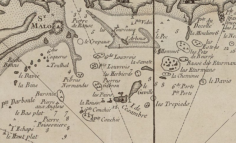
Français : Extrait d'une carte de la côte bretonne de 1764 montrant l'île de Cézembre (orthographiée Cesambre).
Titre de la carte : Partie de la coste de Bretagne depuis Cancale jusqu'au Cap de Frehel / par M. Bellin |
| Date | |
| Source | http://gallica.bnf.fr/ark:/12148/btv1b530168749/f1.item.r=Carte%20Saint%20Malo.zoom |
| Author | Unknown author |
Licensing
edit
|
This work is in the public domain in its country of origin and other countries and areas where the copyright term is the author's life plus 70 years or fewer. This work is in the public domain in the United States because it was published (or registered with the U.S. Copyright Office) before January 1, 1929. | |
| This file has been identified as being free of known restrictions under copyright law, including all related and neighboring rights. | |
File history
Click on a date/time to view the file as it appeared at that time.
| Date/Time | Thumbnail | Dimensions | User | Comment | |
|---|---|---|---|---|---|
| current | 14:51, 11 May 2018 | | 1,718 × 1,041 (352 KB) | Skimel (talk | contribs) | User created page with UploadWizard |
You cannot overwrite this file.
File usage on Commons
There are no pages that use this file.