File:FI-Tampere-20131013 150332 HDR-20131013 150407 HDR.png

Size of this preview: 800 × 461 pixels. Other resolutions: 320 × 184 pixels | 640 × 369 pixels | 1,024 × 590 pixels | 1,280 × 737 pixels | 2,560 × 1,474 pixels | 3,807 × 2,192 pixels.
Original file (3,807 × 2,192 pixels, file size: 16.05 MB, MIME type: image/png)
Captions
Captions
Add a one-line explanation of what this file represents
Summary
edit
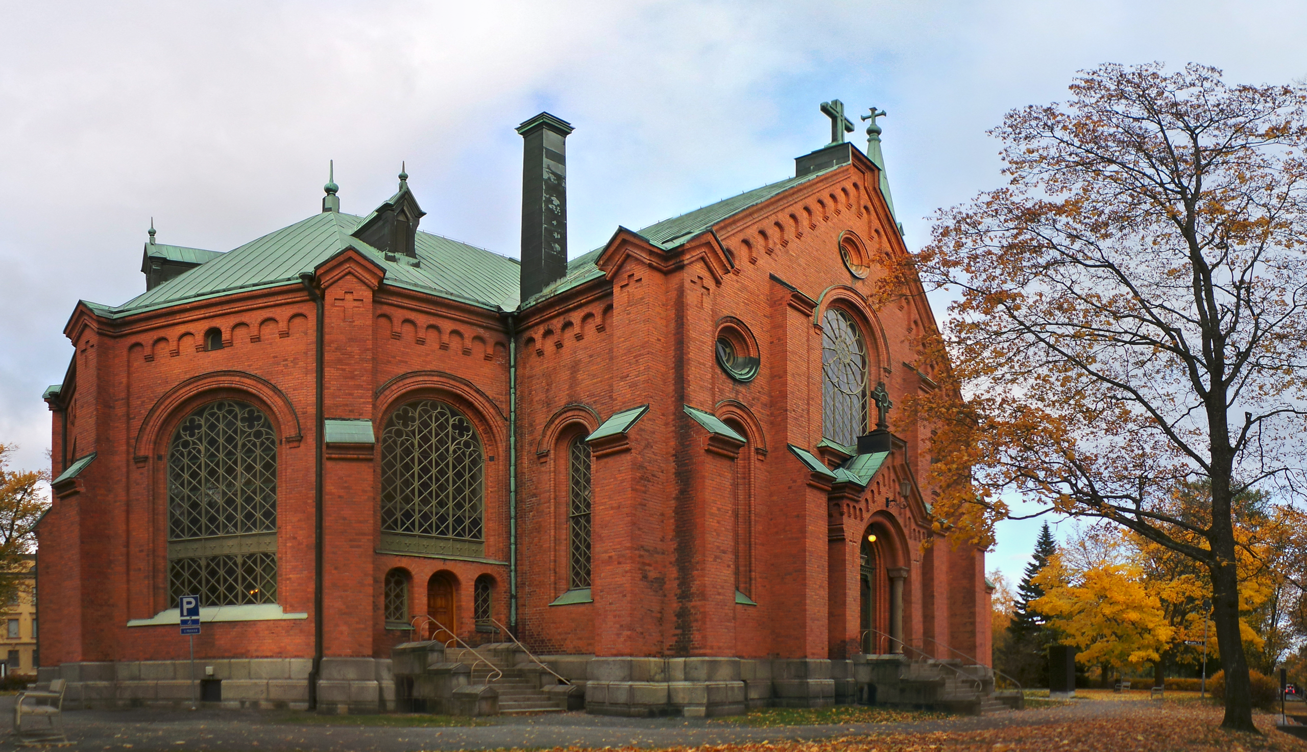
| Description | Aleksanterin kirkko |
| Date | |
| Source | Own work |
| Author | Brylie Oxley |
| Camera location | | View this and other nearby images on: OpenStreetMap |
|---|
Licensing
edit
I, the copyright holder of this work, hereby publish it under the following license:
| This file is made available under the Creative Commons CC0 1.0 Universal Public Domain Dedication. | |
| The person who associated a work with this deed has dedicated the work to the public domain by waiving all of their rights to the work worldwide under copyright law, including all related and neighboring rights, to the extent allowed by law. You can copy, modify, distribute and perform the work, even for commercial purposes, all without asking permission.
|
File history
Click on a date/time to view the file as it appeared at that time.
| Date/Time | Thumbnail | Dimensions | User | Comment | |
|---|---|---|---|---|---|
| current | 13:10, 28 October 2013 | | 3,807 × 2,192 (16.05 MB) | Brylie (talk | contribs) | Upload via KIPI uploader |
You cannot overwrite this file.
File usage on Commons
There are no pages that use this file.