File:FLMap-doton-Jacksonville.PNG
No higher resolution available.
FLMap-doton-Jacksonville.PNG (300 × 295 pixels, file size: 12 KB, MIME type: image/png)
Captions
Captions
Add a one-line explanation of what this file represents
| Description |
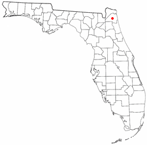
Deutsch: Die Karte zeigt die Lage von Jacksonville in Florida.
English: The map shows the Location of Jacksonville in Florida |
| Date | Originally adapted from Wikipedia's FL county maps by Seth Ilys. |
| Source | Taken from en:Image:FLMap-doton-Jacksonville.PNG |
| Author |

|
Permission is granted to copy, distribute and/or modify this document under the terms of the GNU Free Documentation License, Version 1.2 or any later version published by the Free Software Foundation; with no Invariant Sections, no Front-Cover Texts, and no Back-Cover Texts. A copy of the license is included in the section entitled GNU Free Documentation License. |
| This file is licensed under the Creative Commons Attribution-Share Alike 3.0 Unported license. | ||
| ||
| This licensing tag was added to this file as part of the GFDL licensing update. |
File history
Click on a date/time to view the file as it appeared at that time.
| Date/Time | Thumbnail | Dimensions | User | Comment | |
|---|---|---|---|---|---|
| current | 12:32, 6 February 2005 | | 300 × 295 (12 KB) | Mirohh~commonswiki (talk | contribs) | {{GFDL}} FLMap-doton-Jacksonville.PNG |
You cannot overwrite this file.
File usage on Commons
There are no pages that use this file.
File usage on other wikis
The following other wikis use this file:
- Usage on af.wikipedia.org
- Usage on ar.wikipedia.org
- Usage on en.wikinews.org
- Usage on fo.wikipedia.org
- Usage on lmo.wikipedia.org
- Usage on mg.wikipedia.org
- Usage on nn.wikipedia.org
- Usage on oc.wikipedia.org
- Usage on pl.wikivoyage.org