File:FND Teichkette Arnsdorf DJI 0182.jpg
Size of this preview: 800 × 450 pixels. Other resolutions: 320 × 180 pixels | 640 × 360 pixels | 1,024 × 576 pixels | 1,280 × 720 pixels | 2,560 × 1,440 pixels | 4,000 × 2,250 pixels.
Original file (4,000 × 2,250 pixels, file size: 3.73 MB, MIME type: image/jpeg)
Captions
Captions
Add a one-line explanation of what this file represents
Summary
edit
| Description |
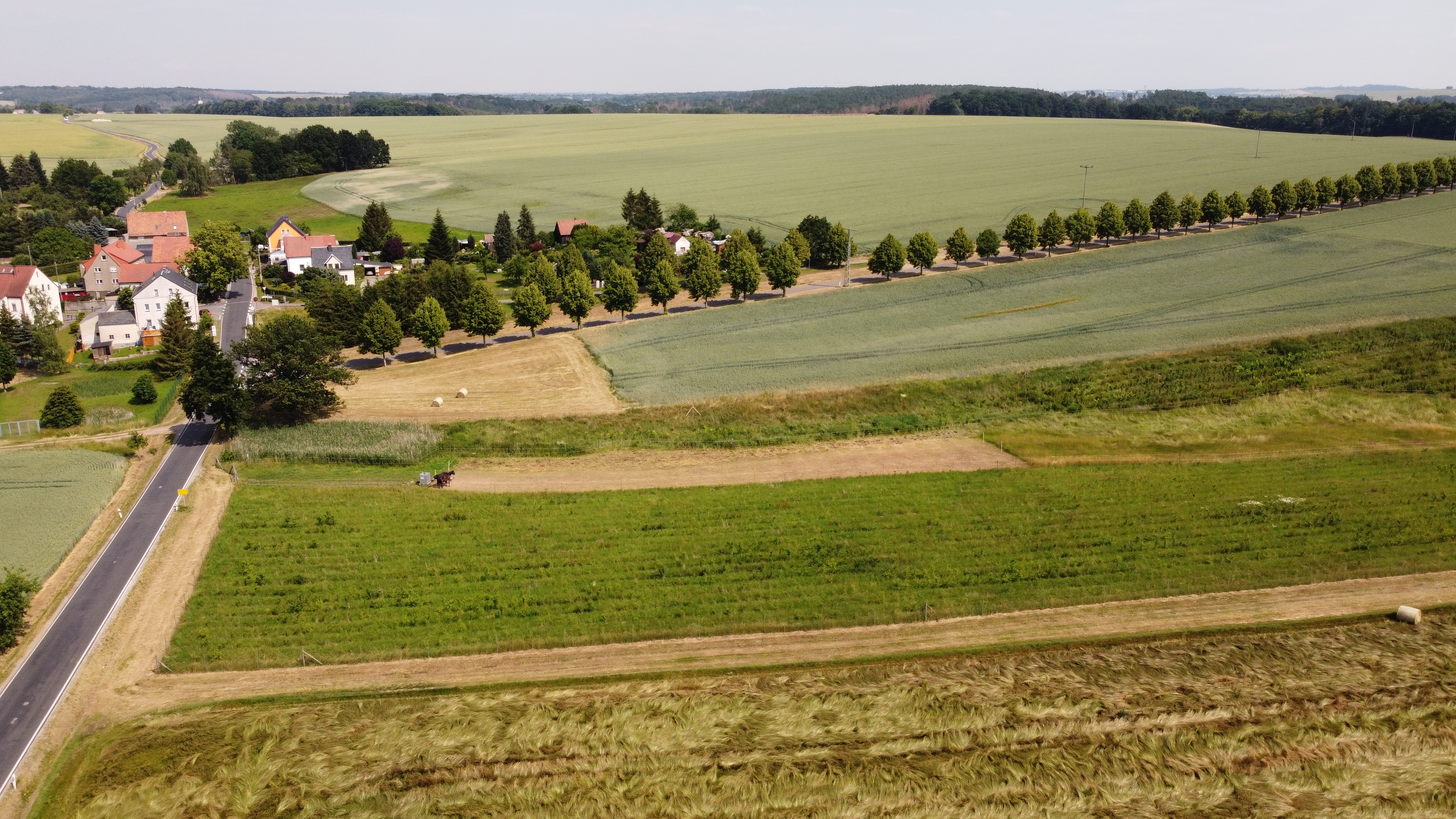
Deutsch: Flächennaturdenkmal (FND) Nr. 141 Teichkette Arnsdorf im Landkreis Mittelsachsen |
| Date | 26 June 2020, 15:36:23 (according to Exif data) |
| Source | Own work |
| Author | Michael Wolf (Webseite) |
| Camera location | | View this and other nearby images on: OpenStreetMap |
|---|
Licensing
edit
This file is licensed under the Creative Commons Attribution-Share Alike 3.0 Unported license.
Attribution: Michael Wolf, Penig
- You are free:
- to share – to copy, distribute and transmit the work
- to remix – to adapt the work
- Under the following conditions:
- attribution – You must give appropriate credit, provide a link to the license, and indicate if changes were made. You may do so in any reasonable manner, but not in any way that suggests the licensor endorses you or your use.
- share alike – If you remix, transform, or build upon the material, you must distribute your contributions under the same or compatible license as the original.
File history
Click on a date/time to view the file as it appeared at that time.
| Date/Time | Thumbnail | Dimensions | User | Comment | |
|---|---|---|---|---|---|
| current | 06:47, 29 May 2021 | | 4,000 × 2,250 (3.73 MB) | Michael w (talk | contribs) | == {{int:filedesc}} == {{Information |Description={{de|1=Flächennaturdenkmal (FND) Nr. 141 Teichkette Arnsdorf im Landkreis Mittelsachsen}} |Source={{own}} |Date=siehe EXIF |Author= Michael Wolf ([https://www.la-wolf.de/ Webseite]) |Permission= |other_versions= }} == {{int:license-header}} == {{cc-by-sa-3.0|[https://www.la-wolf.de/ Michael Wolf], [https://de.wikipedia.org/wiki/Penig Penig]}} {{User:Michael w/Template:Credits}} Category:Teichkette Arnsdorf |
You cannot overwrite this file.
File usage on Commons
The following page uses this file: