File:Falk Oberdorf Lage Schäferwiesen.png
No higher resolution available.
Falk_Oberdorf_Lage_Schäferwiesen.png (800 × 518 pixels, file size: 31 KB, MIME type: image/png)
Captions
Captions
Add a one-line explanation of what this file represents
Summary
edit
| Description |
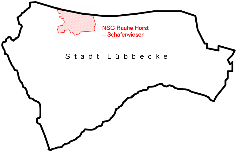
Deutsch: Lage des NSG Rauhe Horst Schäferwiesen innerhalb der Stadt Lübbecke |
| Date | |
| Source | Own work (Original text: selbst gezeichnet) |
| Author | Falk Oberdorf, Osterstr.8, 32312 Lübbecke |
| Object location | | View this and other nearby images on: OpenStreetMap |
|---|
Licensing
edit
| This work has been released into the public domain by its author, FalkOberdorf. This applies worldwide. In some countries this may not be legally possible; if so: |
Original upload log
edit
Transferred from de.wikipedia to Commons by TUBS using CommonsHelper.
The original description page was here. All following user names refer to de.wikipedia.
- 2009-06-27 23:01 FalkOberdorf 800×518 (31611 bytes) {{Information |Beschreibung = Lage des NSG Rauhe Horst Schäferwiesen innerhalb der Stadt Lübbecke |Quelle = selbst gezeichnet |Urheber = Falk Oberdorf, Osterstr.8, 32312 Lübbecke |Datum = 28.06.2009 |Genehmigung = ~~~~ |Andere Versionen = |Anmerkungen
File history
Click on a date/time to view the file as it appeared at that time.
| Date/Time | Thumbnail | Dimensions | User | Comment | |
|---|---|---|---|---|---|
| current | 15:30, 25 November 2009 | | 800 × 518 (31 KB) | File Upload Bot (Magnus Manske) (talk | contribs) | {{BotMoveToCommons|de.wikipedia|year={{subst:CURRENTYEAR}}|month={{subst:CURRENTMONTHNAME}}|day={{subst:CURRENTDAY}}}} {{Information |Description={{de|Lage des NSG Rauhe Horst Schäferwiesen innerhalb der Stadt Lübbecke}} |Source=Transferred from [http: |
You cannot overwrite this file.
File usage on Commons
The following page uses this file:
File usage on other wikis
The following other wikis use this file:
- Usage on de.wikipedia.org
- Usage on www.wikidata.org