File:Farthest South base map.png
No higher resolution available.
Farthest_South_base_map.png (439 × 439 pixels, file size: 43 KB, MIME type: image/png)
Captions
Captions
Add a one-line explanation of what this file represents
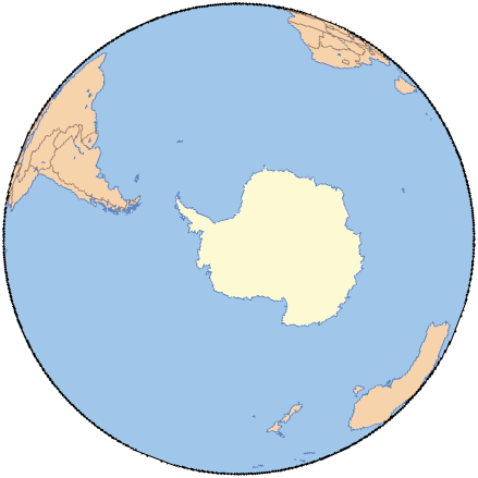
| Description | Blank map of Antarctica and the southern hemisphere |
| Date | Septemebr 2008 |
| Source | Based on an original public domain map from Online Map Creation,(which uses GMT,[1] an open source software licensed under GNU GPL[2]), map rotated and colored by User:Ruhrfisch |
| Author | Online Map Creation, Ruhrfisch |
| Other versions | Image:Farthest South map.png with labels and dots, and Image:Antarctic farthest south map.png is essentially this map but with latitude and longitude lines |
I, the copyright holder of this work, hereby publish it under the following license:

|
Permission is granted to copy, distribute and/or modify this document under the terms of the GNU Free Documentation License, Version 1.2 or any later version published by the Free Software Foundation; with no Invariant Sections, no Front-Cover Texts, and no Back-Cover Texts. A copy of the license is included in the section entitled GNU Free Documentation License. |
| This file is licensed under the Creative Commons Attribution-Share Alike 3.0 Unported license. | ||
| ||
| This licensing tag was added to this file as part of the GFDL licensing update. |
File history
Click on a date/time to view the file as it appeared at that time.
| Date/Time | Thumbnail | Dimensions | User | Comment | |
|---|---|---|---|---|---|
| current | 18:05, 1 October 2008 | | 439 × 439 (43 KB) | Ruhrfisch (talk | contribs) | {{Information |Description= Blank map of Antarctica and the southern hemisphere |Source= Based on an original public domain map from [http://www.aquarius.geomar.de/ Online Map Creation], map rotated and colored by User:Ruhrfisch |Date= Septemebr 2008 |
You cannot overwrite this file.
File usage on Commons
There are no pages that use this file.