File:Fedex Express Cargo N853FD 19-04-2023.jpg

Size of this preview: 800 × 600 pixels. Other resolutions: 320 × 240 pixels | 640 × 480 pixels | 1,024 × 768 pixels | 1,280 × 960 pixels | 2,560 × 1,920 pixels | 4,032 × 3,024 pixels.
Original file (4,032 × 3,024 pixels, file size: 1.5 MB, MIME type: image/jpeg)
Captions
Captions
Add a one-line explanation of what this file represents
Summary
edit
| Description |
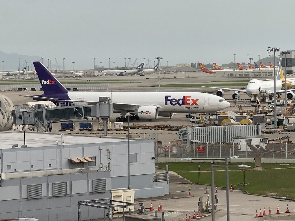
中文:这张照片在机场范围拍摄。 中文(简体):这张照片在机场范围拍摄。 中文(中国大陆):这张照片在机场范围拍摄。 中文(马来西亚):这张照片在机场范围拍摄。 中文(新加坡):这张照片在机场范围拍摄。 中文(繁體):這張照片在機場範圍拍攝。 中文(香港):這張照片在機場範圍拍攝。 中文(澳門):這張照片在機場範圍拍攝。 中文(臺灣):這張照片在機場範圍拍攝。 Čeština: Tato fotografie byla pořízena na letištní střelnici. Dansk: Dette billede er taget ved lufthavnens område. Deutsch: Dieses Foto wurde auf dem Flughafengelände aufgenommen. English: This photo was taken at the airport range. Español: Esta foto fue tomada en el campo de tiro del aeropuerto. Suomi: Tämä kuva on otettu lentokentän alueella. Français : Cette photo a été prise à l'aire de tir de l'aéroport. Magyar: Ez a fénykép a reptéren készült. Hrvatski: Ova fotografija je snimljena na aerodromu. Italiano: Questa foto è stata scattata al poligono dell'aeroporto. Nederlands: Deze foto is genomen op het vliegveld. Polski: To zdjęcie zostało zrobione na poligonie lotniska. Português: Esta foto foi tirada no intervalo do aeroporto. Română: Această fotografie a fost făcută în zona aeroportului. Slovenčina: Táto fotografia bola urobená na letisku. Slovenščina: Ta fotografija je bila posneta na letališču. Svenska: Den här bilden är tagen på flygplatsen. 日本語: この写真は空港の範囲で撮影されました。 한국어: 이 사진은 공항 범위에서 찍은 것입니다. Български: Тази снимка е направена на летището. Македонски: Оваа фотографија е направена на полигонот на аеродромот. Русский: Эта фотография была сделана на полигоне аэропорта. Українська: Це фото зроблено на полігоні аеропорту. Bahasa Indonesia: Foto ini diambil di area bandara. ไทย: ภาพนี้ถ่ายที่สนามบิน Tiếng Việt: Bức ảnh này được chụp ở phạm vi sân bay. العربية: التقطت هذه الصورة في نطاق المطار. فارسی: این عکس در محدوده فرودگاه گرفته شده است. |
| Date | |
| Source | Own work |
| Author | LN9267 |
| Camera location | | View this and other nearby images on: OpenStreetMap |
|---|
Licensing
edit
I, the copyright holder of this work, hereby publish it under the following license:
This file is licensed under the Creative Commons Attribution-Share Alike 4.0 International license.
- You are free:
- to share – to copy, distribute and transmit the work
- to remix – to adapt the work
- Under the following conditions:
- attribution – You must give appropriate credit, provide a link to the license, and indicate if changes were made. You may do so in any reasonable manner, but not in any way that suggests the licensor endorses you or your use.
- share alike – If you remix, transform, or build upon the material, you must distribute your contributions under the same or compatible license as the original.
File history
Click on a date/time to view the file as it appeared at that time.
| Date/Time | Thumbnail | Dimensions | User | Comment | |
|---|---|---|---|---|---|
| current | 13:32, 19 April 2023 | | 4,032 × 3,024 (1.5 MB) | LN9267 (talk | contribs) | Uploaded own work with UploadWizard |
You cannot overwrite this file.
File usage on Commons
The following page uses this file:
- File:Fedex Express Cargo plane 19-04-2023.jpg (file redirect)