File:Feeding trough - geograph.org.uk - 76992.jpg
No higher resolution available.
Feeding_trough_-_geograph.org.uk_-_76992.jpg (640 × 480 pixels, file size: 141 KB, MIME type: image/jpeg)
Captions
Captions
Add a one-line explanation of what this file represents
| Description |
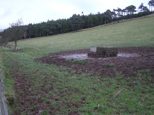
English: Feeding/Drinking trough. By the old Roman Road, beneath Lead Law. |
||
| Date | |||
| Source | From geograph.org.uk | ||
| Author | Callum Black | ||
| Permission (Reusing this file) |
This file is licensed under the Creative Commons Attribution-Share Alike 2.0 Generic license. Attribution: Callum Black
|
||
| Attribution (required by the license) | Callum Black / Feeding trough / | ||

| Object location | | View this and other nearby images on: OpenStreetMap |
|---|
_&language=en)
File history
Click on a date/time to view the file as it appeared at that time.
| Date/Time | Thumbnail | Dimensions | User | Comment | |
|---|---|---|---|---|---|
| current | 15:21, 30 January 2010 | | 640 × 480 (141 KB) | GeographBot (talk | contribs) | == {{int:filedesc}} == {{Information |description={{en|1=Feeding trough. By the old Roman Road, beneath Lead Law.}} |date=2005-11-12 |source=From [http://www.geograph.org.uk/photo/76992 geograph.org.uk] |author=[http://www.geograph.org.uk/profile/2831 Cal |
You cannot overwrite this file.
File usage on Commons
There are no pages that use this file.