File:Field, hedge and trees, Audleby Low - geograph.org.uk - 1115488.jpg

Size of this preview: 450 × 600 pixels. Other resolutions: 180 × 240 pixels | 480 × 640 pixels.
Original file (480 × 640 pixels, file size: 138 KB, MIME type: image/jpeg)
Captions
Captions
Add a one-line explanation of what this file represents
Summary
edit
| Description |
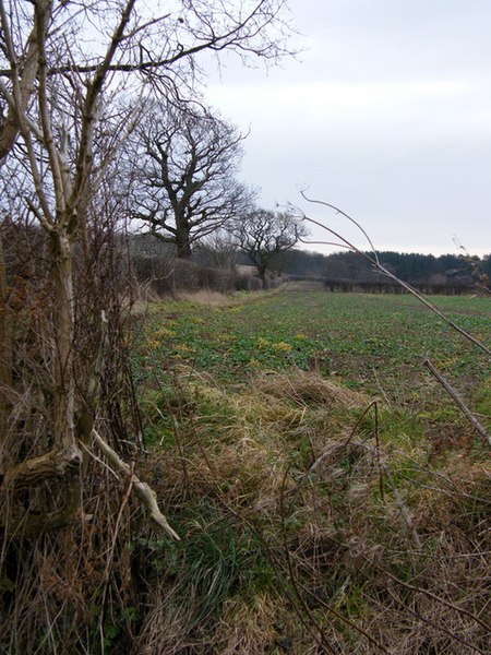
English: Field, hedge and trees: Audleby Low Hedgerow with field drain bank in foreground. Audelby Low Covert is a mainly coniferous plantation, visible on the skyline. It would appear from the amount of shooting in progress today that this cover is still important for rearing game birds. The lowland of the Ancholme valley here meets the rising ground of the wolds. |
| Date | |
| Source | From geograph.org.uk |
| Author | Kate Nicol |
| Attribution (required by the license) | Kate Nicol / Field, hedge and trees: Audleby Low / |
| Camera location | | View this and other nearby images on: OpenStreetMap |
|---|
_heading:112.00&language=en)
| Object location | | View this and other nearby images on: OpenStreetMap |
|---|
_heading:112.00&language=en)
Licensing
edit

|
This image was taken from the Geograph project collection. See this photograph's page on the Geograph website for the photographer's contact details. The copyright on this image is owned by Kate Nicol and is licensed for reuse under the Creative Commons Attribution-ShareAlike 2.0 license.
|
This file is licensed under the Creative Commons Attribution-Share Alike 2.0 Generic license.
Attribution: Kate Nicol
- You are free:
- to share – to copy, distribute and transmit the work
- to remix – to adapt the work
- Under the following conditions:
- attribution – You must give appropriate credit, provide a link to the license, and indicate if changes were made. You may do so in any reasonable manner, but not in any way that suggests the licensor endorses you or your use.
- share alike – If you remix, transform, or build upon the material, you must distribute your contributions under the same or compatible license as the original.
File history
Click on a date/time to view the file as it appeared at that time.
| Date/Time | Thumbnail | Dimensions | User | Comment | |
|---|---|---|---|---|---|
| current | 21:03, 24 February 2011 | | 480 × 640 (138 KB) | GeographBot (talk | contribs) | == {{int:filedesc}} == {{Information |description={{en|1=Field, hedge and trees: Audleby Low Hedgerow with field drain bank in foreground. Audelby Low Covert is a mainly coniferous plantation, visible on the skyline. It would appear from the amount of sho |
You cannot overwrite this file.
File usage on Commons
There are no pages that use this file.