File:Field Boundary near Pepperhill, Shropshire - geograph.org.uk - 392973.jpg
No higher resolution available.
Field_Boundary_near_Pepperhill,_Shropshire_-_geograph.org.uk_-_392973.jpg (640 × 417 pixels, file size: 108 KB, MIME type: image/jpeg)
Captions
Captions
Add a one-line explanation of what this file represents
Summary
edit
| Description |
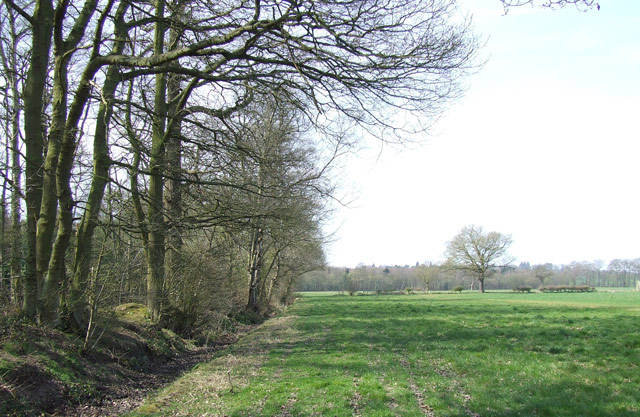
English: Field Boundary near Pepperhill, Shropshire The land becomes very flat at the foot of the scarp. The walled "Crown Property" woods are to the left, and this field, though grassed here, seems to be covered 80% with clover off picture to the right. |
| Date | |
| Source | From geograph.org.uk |
| Author | Roger Kidd |
| Attribution (required by the license) | Roger Kidd / Field Boundary near Pepperhill, Shropshire / |
| Camera location | | View this and other nearby images on: OpenStreetMap |
|---|
_heading:247.00&language=en)
| Object location | | View this and other nearby images on: OpenStreetMap |
|---|
_heading:247.00&language=en)
Licensing
edit

|
This image was taken from the Geograph project collection. See this photograph's page on the Geograph website for the photographer's contact details. The copyright on this image is owned by Roger Kidd and is licensed for reuse under the Creative Commons Attribution-ShareAlike 2.0 license.
|
This file is licensed under the Creative Commons Attribution-Share Alike 2.0 Generic license.
Attribution: Roger Kidd
- You are free:
- to share – to copy, distribute and transmit the work
- to remix – to adapt the work
- Under the following conditions:
- attribution – You must give appropriate credit, provide a link to the license, and indicate if changes were made. You may do so in any reasonable manner, but not in any way that suggests the licensor endorses you or your use.
- share alike – If you remix, transform, or build upon the material, you must distribute your contributions under the same or compatible license as the original.
File history
Click on a date/time to view the file as it appeared at that time.
| Date/Time | Thumbnail | Dimensions | User | Comment | |
|---|---|---|---|---|---|
| current | 17:43, 3 February 2011 | | 640 × 417 (108 KB) | GeographBot (talk | contribs) | == {{int:filedesc}} == {{Information |description={{en|1=Field Boundary near Pepperhill, Shropshire The land becomes very flat at the foot of the scarp. The walled "Crown Property" woods are to the left, and this field, though grassed here, seems to be co |
You cannot overwrite this file.
File usage on Commons
There are no pages that use this file.