File:Fifteen Acres field in 2011.JPG
Original file (4,000 × 3,000 pixels, file size: 5.32 MB, MIME type: image/jpeg)
Captions
Captions
Summary edit
| Description |
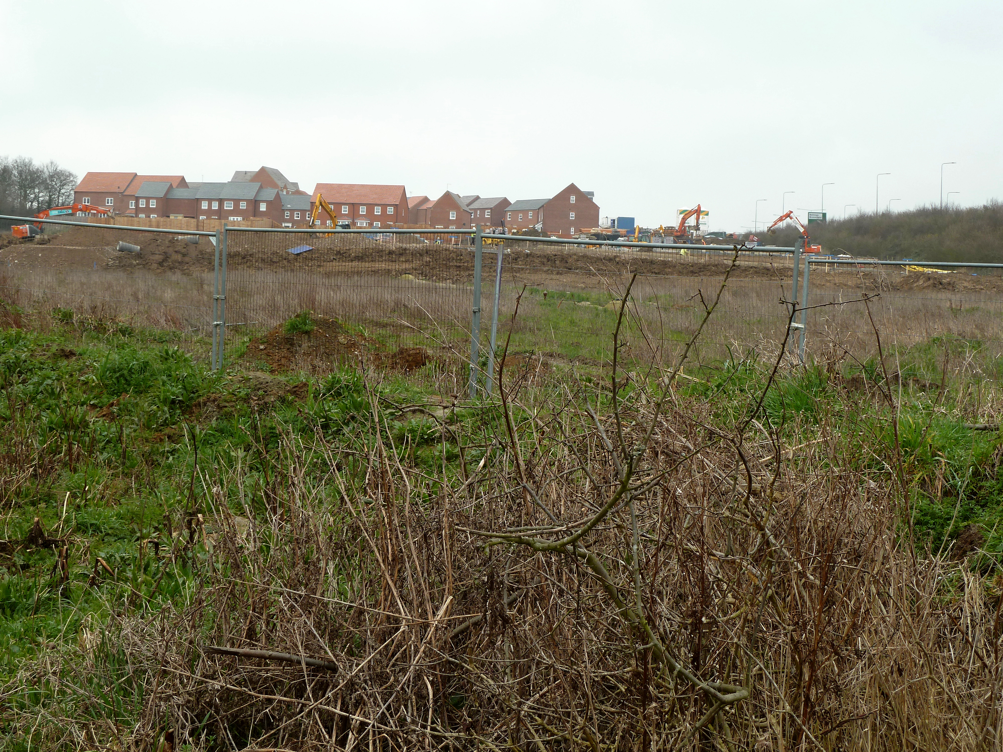
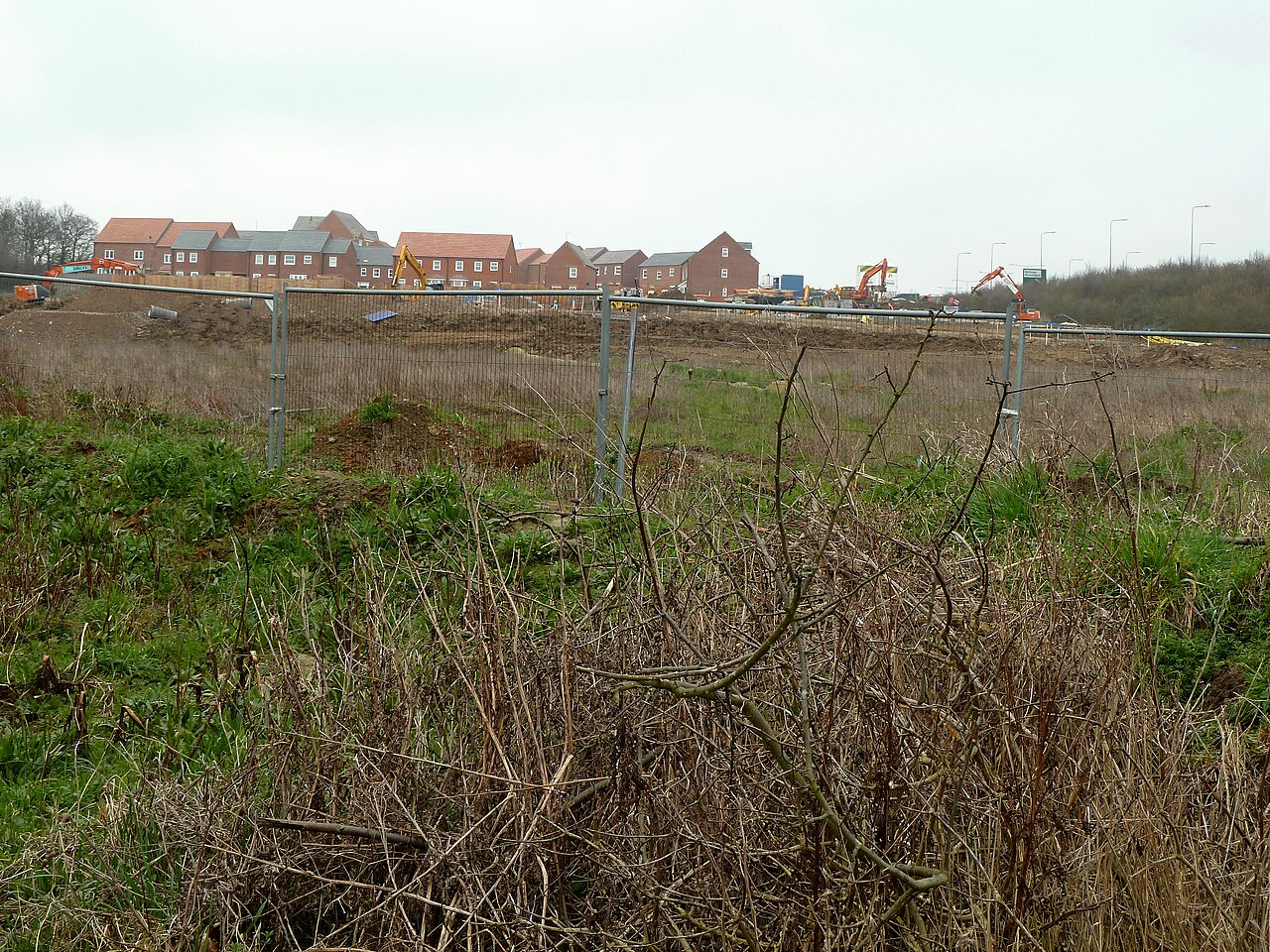
English: Fifteen Acres field, at the east end of Parsonage Road and the western end of The Links at Eddington, Kent, England. As of 2011 it has lost its status as a public amenity and wildlife area, and is an inaccessible building site. Here is a description of the same field from Geograph in 2004:
|
| Date | |
| Source | Own work |
| Author | Storye book |
| Other versions | See the same field in 2004: File:Fifteen Acres Eddington.jpg |
| Camera location | | View this and other nearby images on: OpenStreetMap |
|---|
Licensing edit
- You are free:
- to share – to copy, distribute and transmit the work
- to remix – to adapt the work
- Under the following conditions:
- attribution – You must give appropriate credit, provide a link to the license, and indicate if changes were made. You may do so in any reasonable manner, but not in any way that suggests the licensor endorses you or your use.
File history
Click on a date/time to view the file as it appeared at that time.
| Date/Time | Thumbnail | Dimensions | User | Comment | |
|---|---|---|---|---|---|
| current | 19:53, 5 March 2011 | | 4,000 × 3,000 (5.32 MB) | Storye book (talk | contribs) | {{Information |Description ={{en|1=Fifteen Acres field, at the east end of Parsonage Road and the western end of The Links at Eddington, Kent, England. As of 2011 it has lost its status as a public amenity and wildlife area, and is an inaccessible buil |
You cannot overwrite this file.
File usage on Commons
There are no pages that use this file.
File usage on other wikis
The following other wikis use this file:
- Usage on en.wikipedia.org