File:Fig 11 Isobase and hing lines of Lake Algonquin.jpg

Size of this preview: 768 × 600 pixels. Other resolutions: 308 × 240 pixels | 615 × 480 pixels | 984 × 768 pixels | 1,190 × 929 pixels.
Original file (1,190 × 929 pixels, file size: 166 KB, MIME type: image/jpeg)
Captions
Captions
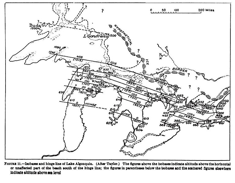
Fig 11 Isobase and hing lines of Lake Algonquin
Summary edit
| Description |
English: Fig 11 Isobase and hing lines of Lake Algonquin |
| Date | |
| Source | Geology and Mineral Resources of the Cleveland District, Ohio, Bulletin 818; H P. Cushing, Frank Leverett and Frank R. Van Horn; Geological Survey George Otis Smith, Director; United States Government Printing Office; Washington: 1931 |
| Author | H P. Cushing, Frank Leverett and Frank R. Van Horn |
Licensing edit
This work is in the public domain in the United States because it is a work prepared by an officer or employee of the United States Government as part of that person’s official duties under the terms of Title 17, Chapter 1, Section 105 of the US Code.
Note: This only applies to original works of the Federal Government and not to the work of any individual U.S. state, territory, commonwealth, county, municipality, or any other subdivision. This template also does not apply to postage stamp designs published by the United States Postal Service since 1978. (See § 313.6(C)(1) of Compendium of U.S. Copyright Office Practices). It also does not apply to certain US coins; see The US Mint Terms of Use.
|
 | |
| This file has been identified as being free of known restrictions under copyright law, including all related and neighboring rights. | ||
File history
Click on a date/time to view the file as it appeared at that time.
| Date/Time | Thumbnail | Dimensions | User | Comment | |
|---|---|---|---|---|---|
| current | 19:16, 5 May 2020 | | 1,190 × 929 (166 KB) | Chris Light (talk | contribs) | Uploaded a work by H P. Cushing, Frank Leverett and Frank R. Van Horn from Geology and Mineral Resources of the Cleveland District, Ohio, Bulletin 818; H P. Cushing, Frank Leverett and Frank R. Van Horn; Geological Survey George Otis Smith, Director; United States Government Printing Office; Washington: 1931 with UploadWizard |
You cannot overwrite this file.
File usage on Commons
There are no pages that use this file.