File:Figurative cartouche on a world map by Keulen.jpg

Size of this preview: 800 × 532 pixels. Other resolutions: 320 × 213 pixels | 640 × 426 pixels | 1,024 × 681 pixels | 1,280 × 851 pixels | 2,560 × 1,703 pixels | 3,329 × 2,214 pixels.
Original file (3,329 × 2,214 pixels, file size: 1.34 MB, MIME type: image/jpeg)
Captions
Captions
Add a one-line explanation of what this file represents
Summary edit
| Warning | The original file is very high-resolution. It might not load properly or could cause your browser to freeze when opened at full size. |
|---|
| Description |
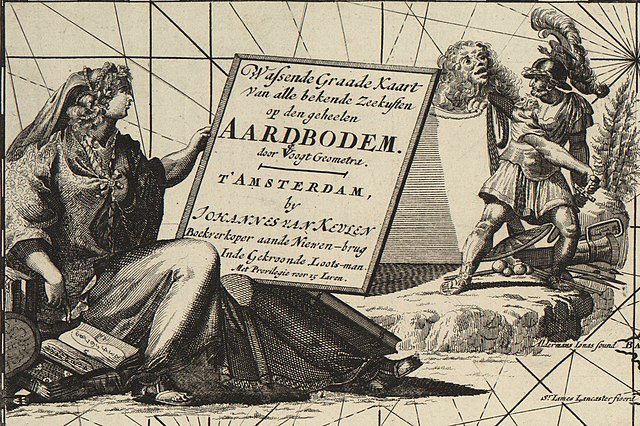
English: Wassende graade Kaart van alle bekende zeekusten op den geheelen aardbodem : door voogt geogmetra / by Johannes van Keulen. |
| Date | 17th-century |
| Source | https://quod.lib.umich.edu/c/clark1ic/x-004074044/39015091197015 |
| Author | Keulen, Johannes van, 1654-1715. |
| Other versions |

Licensing edit
|
This work is in the public domain in its country of origin and other countries and areas where the copyright term is the author's life plus 70 years or fewer. This work is in the public domain in the United States because it was published (or registered with the U.S. Copyright Office) before January 1, 1929. | |
| This file has been identified as being free of known restrictions under copyright law, including all related and neighboring rights. | |
File history
Click on a date/time to view the file as it appeared at that time.
| Date/Time | Thumbnail | Dimensions | User | Comment | |
|---|---|---|---|---|---|
| current | 21:31, 28 November 2022 | | 3,329 × 2,214 (1.34 MB) | Enyavar (talk | contribs) | File:Wassende graade Kaart van alle bekende zeekusten op den geheelen aardbodem.jpg cropped 68 % horizontally, 74 % vertically, rotated 0.4° using CropTool with precise mode. |
You cannot overwrite this file.
File usage on Commons
The following page uses this file: