File:Fingerpost on hiking route 4172 (blue) at junction with hiking route 4173 (green) - Israel, near Beit Oren (20220108 145127).jpg

Size of this preview: 800 × 600 pixels. Other resolutions: 320 × 240 pixels | 640 × 480 pixels | 1,024 × 768 pixels | 1,280 × 960 pixels | 2,560 × 1,920 pixels | 4,032 × 3,024 pixels.
Original file (4,032 × 3,024 pixels, file size: 3.92 MB, MIME type: image/jpeg)
Captions
Captions
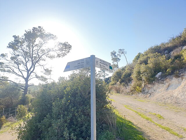
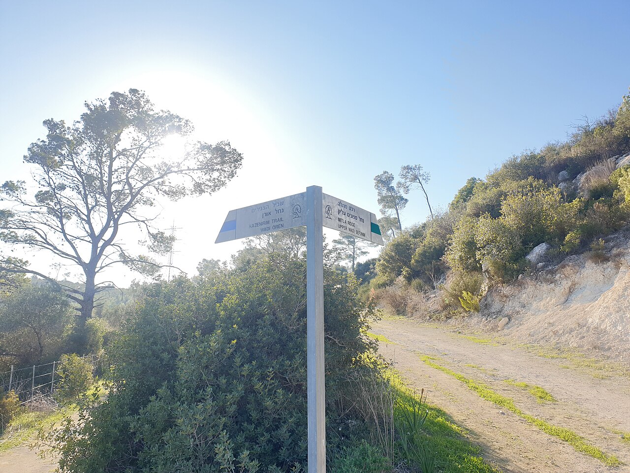
Fingerpost on hiking route 4172 (lower Nahal Oren; blue marking) at junction with hiking route 4173 (eastern Nahal Sfunim; green marking) in Israel, near Beit Oren
Summary edit
_at_junction_with_hiking_route_4173_(green)_-_Israel,_near_Beit_Oren_(20220108_145127).jpg&action=edit§ion=1)
| Description |
English: Fingerpost on hiking route 4172 (lower Nahal Oren; blue marking) at junction with hiking route 4173 (eastern Nahal Sfunim; green marking) in Israel, on the western slopes of Mt. Carmel, near the kibbutz Beit Oren
עברית: שלט סימון שבילים בשביל 4172 (נחל אורן תחתון ממחצבות קדומים מערבה; סימון כחול) בנקודת המפגש שלו עם שביל 4173 (נחל ספונים מזרחי; סימון ירוק) במורדות המערביים של הר הכרמל, ליד קיבוץ בית אורן. |
| Date | |
| Source | Own work |
| Author | DmitTrix |
| Camera location | | View this and other nearby images on: OpenStreetMap |
|---|
_at_junction_with_hiking_route_4173_(green)_-_Israel,_near_Beit_Oren_(20220108_145127).jpg¶ms=032.728615_N_0034.996140_E_globe:Earth_type:camera_heading:248.00&language=en)
Licensing edit
_at_junction_with_hiking_route_4173_(green)_-_Israel,_near_Beit_Oren_(20220108_145127).jpg&action=edit§ion=2)
I, the copyright holder of this work, hereby publish it under the following license:
This file is licensed under the Creative Commons Attribution 4.0 International license.
- You are free:
- to share – to copy, distribute and transmit the work
- to remix – to adapt the work
- Under the following conditions:
- attribution – You must give appropriate credit, provide a link to the license, and indicate if changes were made. You may do so in any reasonable manner, but not in any way that suggests the licensor endorses you or your use.
File history
Click on a date/time to view the file as it appeared at that time.
| Date/Time | Thumbnail | Dimensions | User | Comment | |
|---|---|---|---|---|---|
| current | 21:42, 30 June 2023 | | 4,032 × 3,024 (3.92 MB) | DmitTrix (talk | contribs) | Uploaded own work with UploadWizard |
You cannot overwrite this file.
File usage on Commons
The following page uses this file:
_at_junction_with_hiking_route_4173_(green)_-_Israel,_near_Beit_Oren_(20220108_145127).jpg&oldid=787884035)