File:First Canadian Place from CN Tower, Toronto, Ontario (21653252139).jpg
Original file (3,790 × 2,840 pixels, file size: 7.08 MB, MIME type: image/jpeg)
Captions
Captions
Summary
edit.jpg&action=edit§ion=1)
| Description |
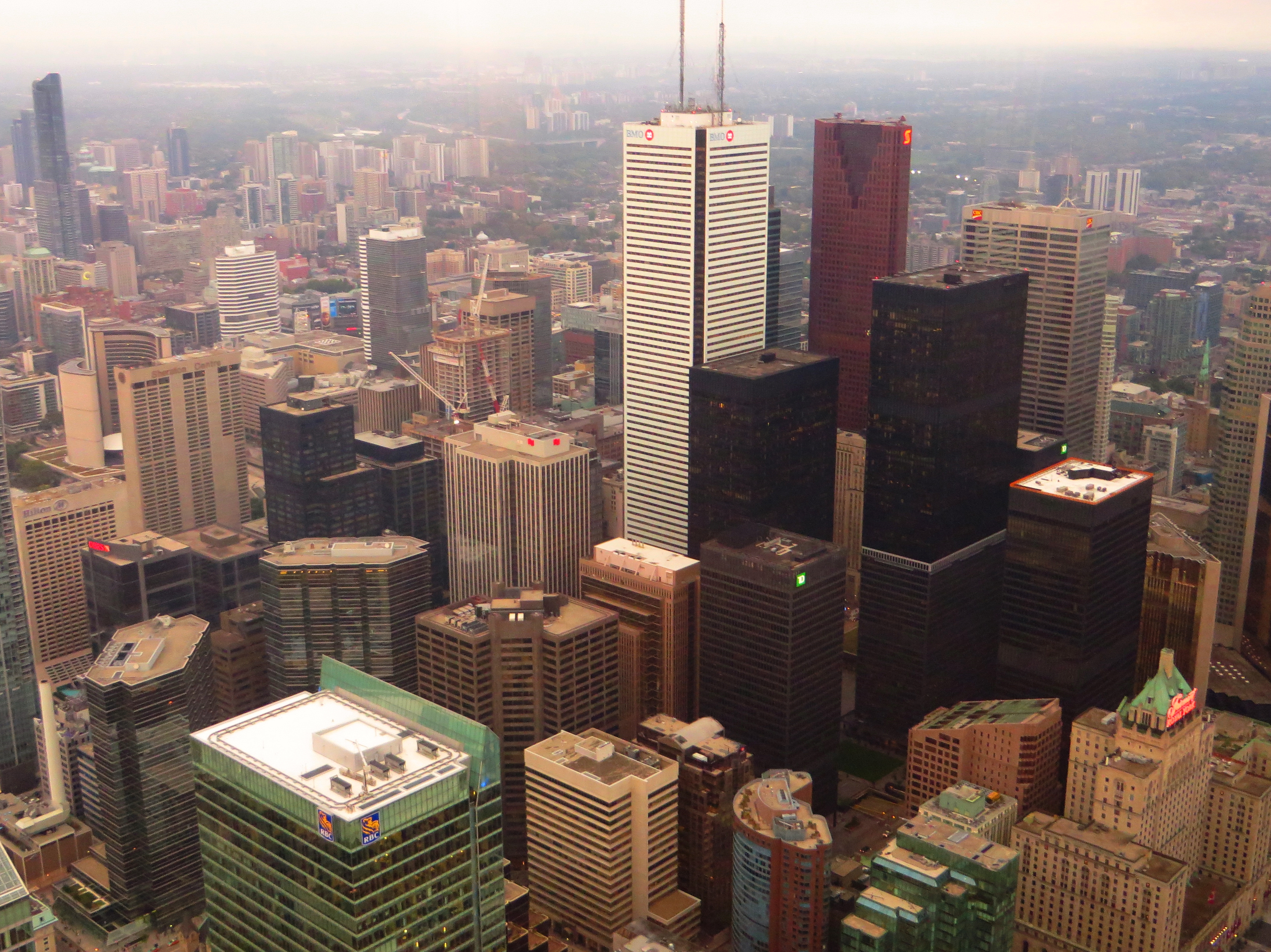
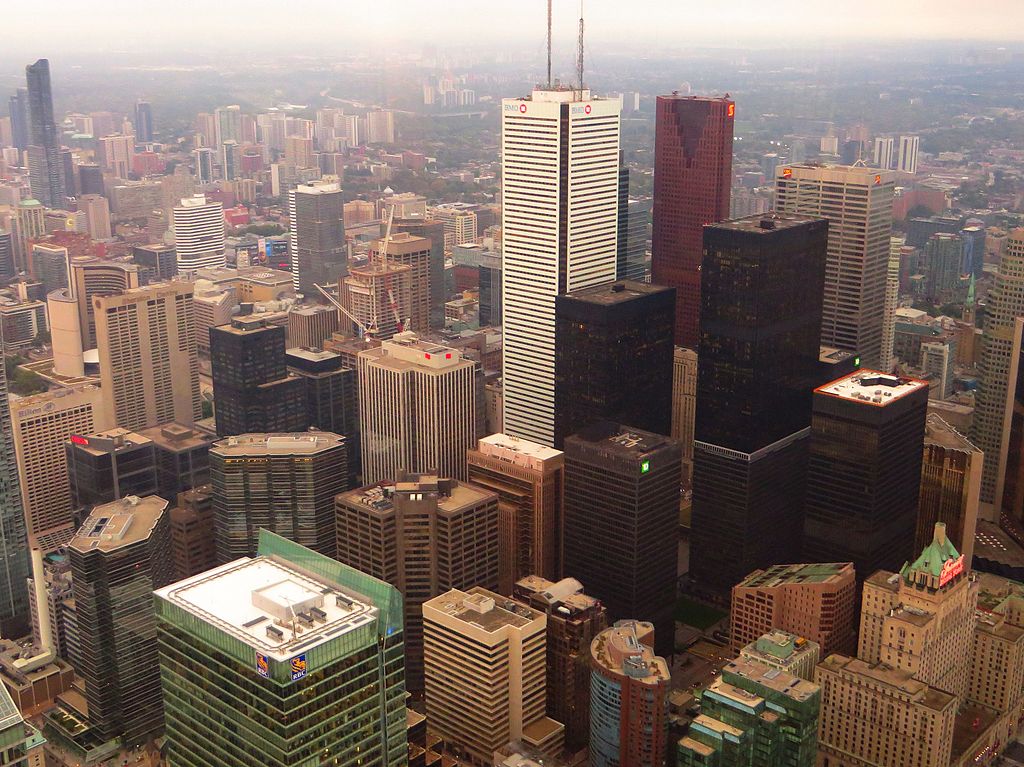
First Canadian Place (originally First Bank Building) is a skyscraper in the financial district of Toronto, Ontario, at the northwest corner of King and Bay streets, and is the location of the Toronto operational head office of the Bank of Montreal. At 298 m (978 ft), it is Canada's tallest skyscraper and the 15th tallest building in North America to structural top (spires) and 9th highest to the roof top, and the 105th tallest in the world. It is the third tallest free-standing structure in Canada, after CN Tower (also in Toronto) and the Inco Superstack chimney in Sudbury, Ontario. The building is owned by Brookfield Office Properties, putting it in co-ownership with the neighbouring Exchange Tower and Bay Adelaide Centre as well as various other office spaces across Downtown Toronto. First Canadian Place was the 6th tallest building in the world to structural top (currently 103rd) and the tallest building overall outside of Chicago and New York when built in 1975. It was also the tallest building in the Commonwealth of Nations until the completion of the Petronas Towers in Kuala Lumpur, Malaysia, in 1998. The Bank of Montreal "M-bar" logo at the top of the building was the highest sign in the world from 1975 until overtaken by the sign atop CITIC Plaza in 1997. The roof is still the location of a number of antennas used for radio and television broadcasting. The structure contains 29 elevators, and is one of only a few buildings in the world that uses the double-decked variety, and is connected to the underground PATH system. en.wikipedia.org/wiki/First_Canadian_Place en.wikipedia.org/wiki/Wikipedia:Text_of_Creative_Commons_... |
| Date | Taken on 28 September 2015, 15:26 |
| Source | First Canadian Place from CN Tower, Toronto, Ontario |
| Author | Ken Lund from Reno, Nevada, USA |
| Camera location | | View this and other nearby images on: OpenStreetMap |
|---|
.jpg¶ms=043.642647_N_-079.387128_E_globe:Earth_type:camera_source:Flickr_&language=en)
Licensing
edit.jpg&action=edit§ion=2)
- You are free:
- to share – to copy, distribute and transmit the work
- to remix – to adapt the work
- Under the following conditions:
- attribution – You must give appropriate credit, provide a link to the license, and indicate if changes were made. You may do so in any reasonable manner, but not in any way that suggests the licensor endorses you or your use.
- share alike – If you remix, transform, or build upon the material, you must distribute your contributions under the same or compatible license as the original.
| This image was originally posted to Flickr by Ken Lund at https://flickr.com/photos/75683070@N00/21653252139. It was reviewed on 19 December 2016 by FlickreviewR and was confirmed to be licensed under the terms of the cc-by-sa-2.0. |
File history
Click on a date/time to view the file as it appeared at that time.
| Date/Time | Thumbnail | Dimensions | User | Comment | |
|---|---|---|---|---|---|
| current | 15:32, 19 December 2016 | | 3,790 × 2,840 (7.08 MB) | Mindmatrix (talk | contribs) | Transferred from Flickr via Flickr2Commons |
You cannot overwrite this file.
File usage on Commons
There are no pages that use this file.
.jpg&oldid=590684842)