File:Flickr - Nicholas T - Open Road.jpg

Size of this preview: 800 × 540 pixels. Other resolutions: 320 × 216 pixels | 640 × 432 pixels | 1,024 × 692 pixels | 1,280 × 865 pixels | 2,560 × 1,729 pixels | 3,072 × 2,075 pixels.
Original file (3,072 × 2,075 pixels, file size: 5.12 MB, MIME type: image/jpeg)
Captions
Captions
Add a one-line explanation of what this file represents
Summary
edit
| Description |
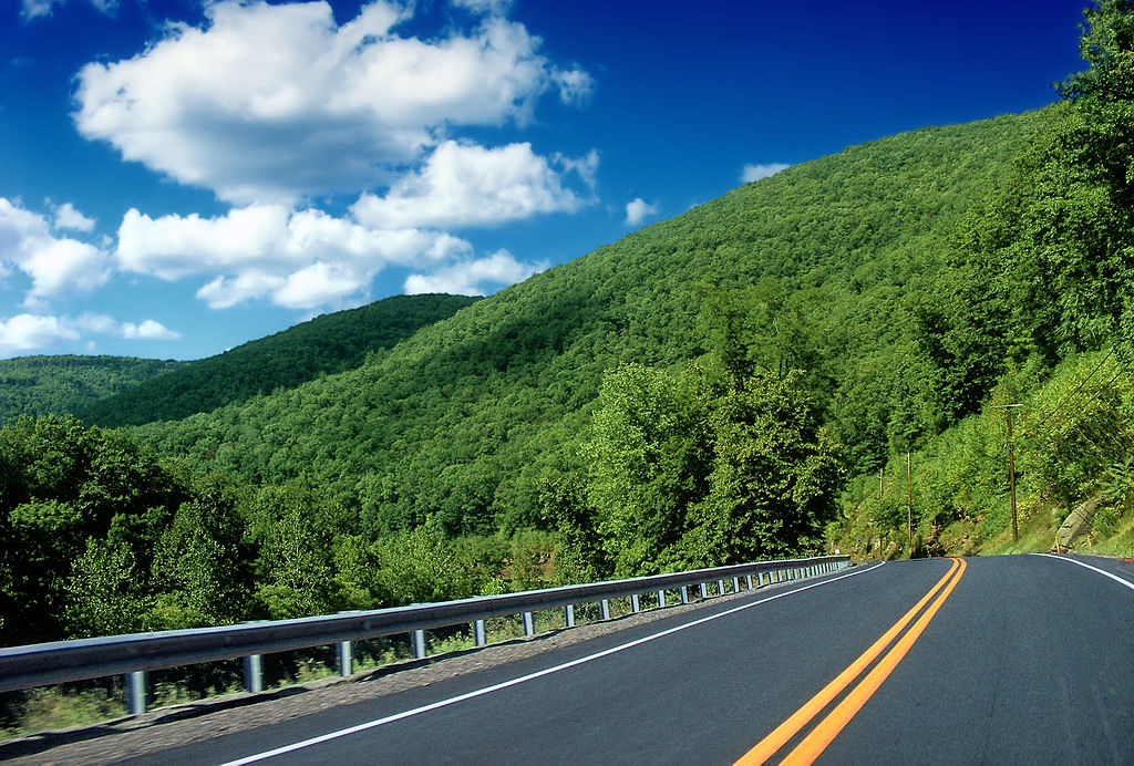
PA Route 44, Lycoming County. Pine Creek forms a deep, steep-walled gorge as it cuts through the Allegheny Plateau. PA Route 44 spans the east side of the gorge between the towns of Jersey Shore and Waterville. |
| Date | |
| Source | Open Road |
| Author | Nicholas A. Tonelli from Pennsylvania, USA |
| Camera location | | View this and other nearby images on: OpenStreetMap |
|---|
Licensing
edit
This file is licensed under the Creative Commons Attribution 2.0 Generic license.
- You are free:
- to share – to copy, distribute and transmit the work
- to remix – to adapt the work
- Under the following conditions:
- attribution – You must give appropriate credit, provide a link to the license, and indicate if changes were made. You may do so in any reasonable manner, but not in any way that suggests the licensor endorses you or your use.
| This image was originally posted to Flickr by Nicholas_T at https://www.flickr.com/photos/14922165@N00/4872692737. It was reviewed on 10 September 2012 by FlickreviewR and was confirmed to be licensed under the terms of the cc-by-2.0. |
File history
Click on a date/time to view the file as it appeared at that time.
| Date/Time | Thumbnail | Dimensions | User | Comment | |
|---|---|---|---|---|---|
| current | 01:42, 10 September 2012 | | 3,072 × 2,075 (5.12 MB) | Matanya (talk | contribs) | == {{int:filedesc}} == {{Information |Description=PA Route 44, Lycoming County. Pine Creek forms a deep, steep-walled gorge as it cuts through the Allegheny Plateau. PA Route 44 spans the east side of the gorge between the towns of Jersey Shore and Wa... |
You cannot overwrite this file.
File usage on Commons
There are no pages that use this file.