File:Flying over the Preserve (9514172180).jpg
Size of this preview: 800 × 533 pixels. Other resolutions: 320 × 213 pixels | 640 × 427 pixels | 1,024 × 683 pixels | 1,280 × 853 pixels | 2,560 × 1,707 pixels | 3,552 × 2,368 pixels.
Original file (3,552 × 2,368 pixels, file size: 4.9 MB, MIME type: image/jpeg)
Captions
Captions
Add a one-line explanation of what this file represents
Summary
edit.jpg&action=edit§ion=1)
| Description |
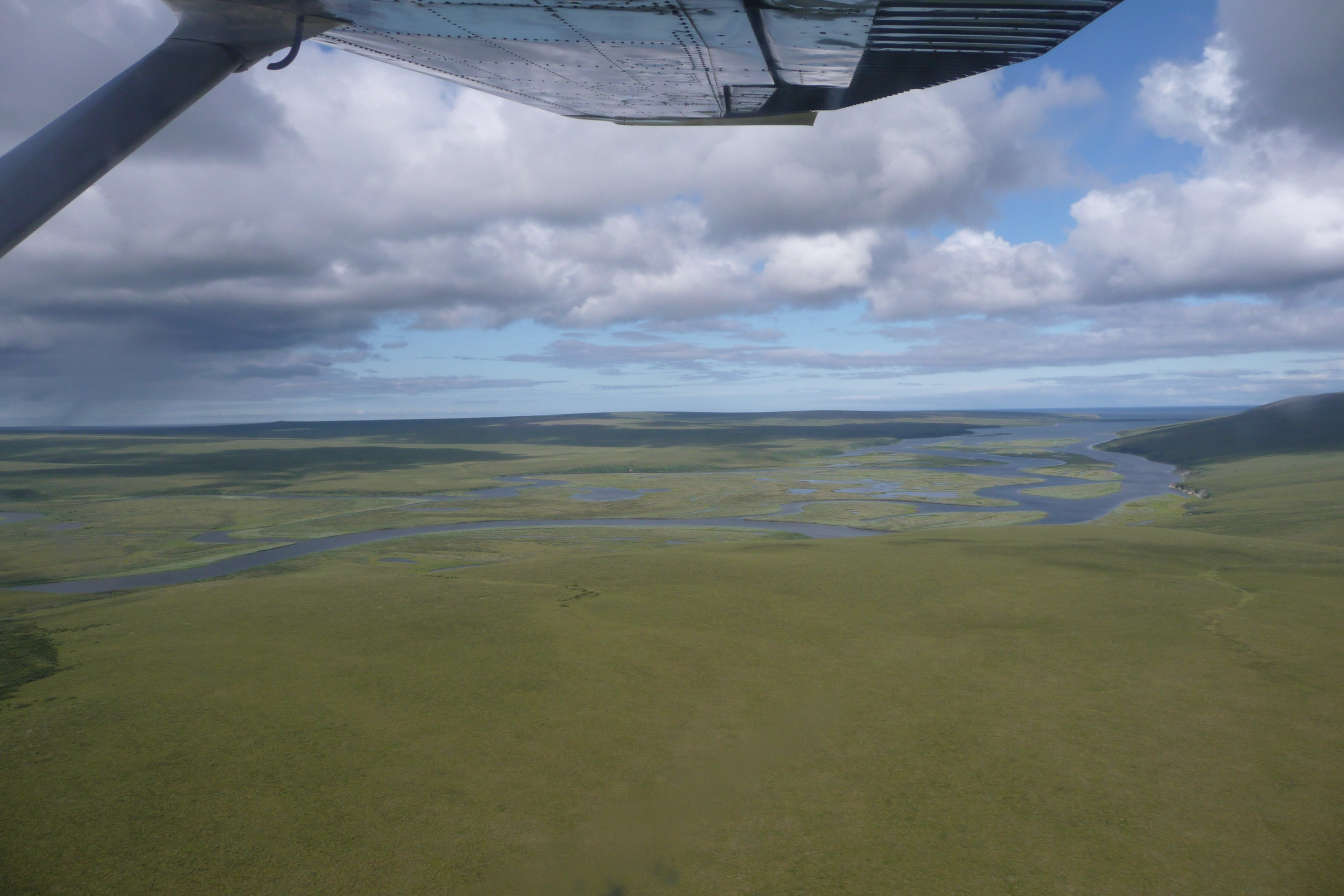
Much of the interior of the Preserve does not rise above 750' in elevation. This broad coastal plain is especially scenic. Deutsch: Unterlauf des Kugruk River mit Mündung in die Kugruk-Lagune |
| Date | |
| Source | Flying over the Preserve |
| Author | Bering Land Bridge National Preserve |
| Camera location | | View this and other nearby images on: OpenStreetMap |
|---|
.jpg¶ms=065.958224_N_-162.643555_E_globe:Earth_type:camera__&language=en)
Licensing
edit.jpg&action=edit§ion=2)
This file is licensed under the Creative Commons Attribution 2.0 Generic license.
- You are free:
- to share – to copy, distribute and transmit the work
- to remix – to adapt the work
- Under the following conditions:
- attribution – You must give appropriate credit, provide a link to the license, and indicate if changes were made. You may do so in any reasonable manner, but not in any way that suggests the licensor endorses you or your use.
| This image was originally posted to Flickr by Bering Land Bridge National Preserve at https://www.flickr.com/photos/38623372@N06/9514172180. It was reviewed on 21 June 2014 by FlickreviewR and was confirmed to be licensed under the terms of the cc-by-2.0. |
File history
Click on a date/time to view the file as it appeared at that time.
| Date/Time | Thumbnail | Dimensions | User | Comment | |
|---|---|---|---|---|---|
| current | 00:47, 21 June 2014 | | 3,552 × 2,368 (4.9 MB) | Ser Amantio di Nicolao (talk | contribs) | Transferred from Flickr via Flickr2commons |
You cannot overwrite this file.
File usage on Commons
There are no pages that use this file.
.jpg&oldid=663075622)