File:Footpath to the tor - geograph.org.uk - 336974.jpg
No higher resolution available.
Footpath_to_the_tor_-_geograph.org.uk_-_336974.jpg (640 × 466 pixels, file size: 114 KB, MIME type: image/jpeg)
Captions
Captions
Add a one-line explanation of what this file represents
Summary
edit
| Description |
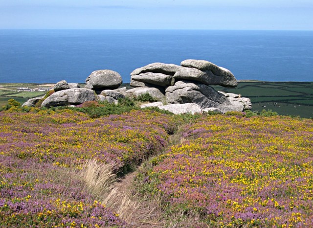
English: Footpath to the tor The covering of Western Gorse and Bell Heather on Rosewall Hill is only inches deep but very dense and prickly which serves to protect it from being trampled by walkers. |
| Date | |
| Source | From geograph.org.uk |
| Author | Tony Atkin |
| Attribution (required by the license) | Tony Atkin / Footpath to the tor / |
| Object location | | View this and other nearby images on: OpenStreetMap |
|---|
_&language=en)
Licensing
edit

|
This image was taken from the Geograph project collection. See this photograph's page on the Geograph website for the photographer's contact details. The copyright on this image is owned by Tony Atkin and is licensed for reuse under the Creative Commons Attribution-ShareAlike 2.0 license.
|
This file is licensed under the Creative Commons Attribution-Share Alike 2.0 Generic license.
Attribution: Tony Atkin
- You are free:
- to share – to copy, distribute and transmit the work
- to remix – to adapt the work
- Under the following conditions:
- attribution – You must give appropriate credit, provide a link to the license, and indicate if changes were made. You may do so in any reasonable manner, but not in any way that suggests the licensor endorses you or your use.
- share alike – If you remix, transform, or build upon the material, you must distribute your contributions under the same or compatible license as the original.
File history
Click on a date/time to view the file as it appeared at that time.
| Date/Time | Thumbnail | Dimensions | User | Comment | |
|---|---|---|---|---|---|
| current | 21:46, 30 December 2010 | | 640 × 466 (114 KB) | GeographBot (talk | contribs) | == {{int:filedesc}} == {{Information |description={{en|1=Footpath to the tor The covering of Western Gorse and Bell Heather on Rosewall Hill is only inches deep but very dense and prickly which serves to protect it from being trampled by walkers.}} |date= |
You cannot overwrite this file.
File usage on Commons
There are no pages that use this file.