File:Ford F-450 de l'arrondissement Montréal-Nord à Montréal.jpg
Size of this preview: 800 × 479 pixels. Other resolutions: 320 × 192 pixels | 640 × 383 pixels | 1,024 × 613 pixels | 1,280 × 766 pixels | 2,592 × 1,552 pixels.
Original file (2,592 × 1,552 pixels, file size: 1.15 MB, MIME type: image/jpeg)
Captions
Captions
Add a one-line explanation of what this file represents
Summary
edit
Licensing
edit
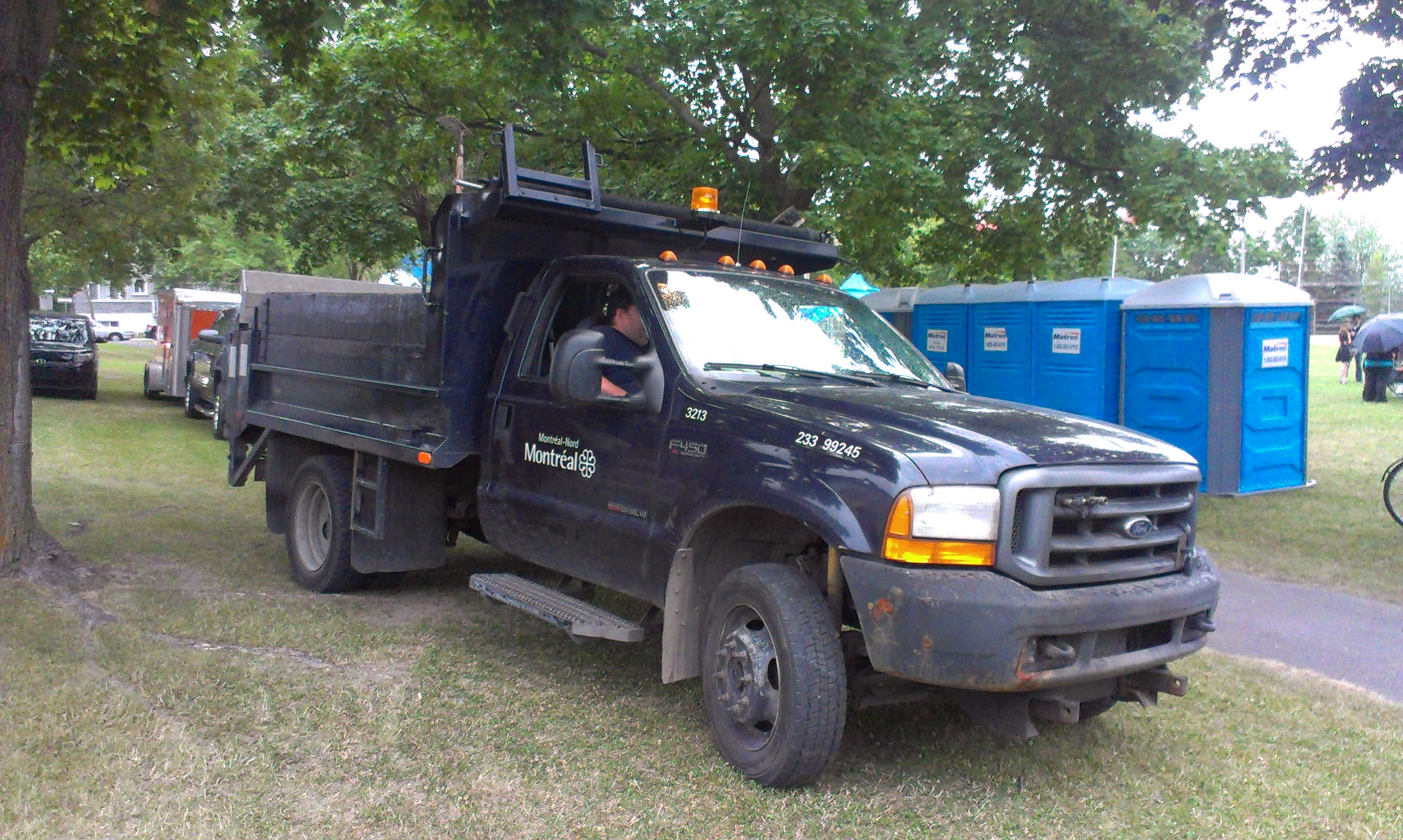
| Description | Ford F-450 Super Duty of the city's Montreal North borough photographed in Montreal, Quebec, Canada |
| Date | |
| Source | Own work. |
| Author | Bull-Doser |
| Permission (Reusing this file) |
All Rights Released. |
| Camera location | | View this and other nearby images on: OpenStreetMap |
|---|
Licensing
edit
| I, the copyright holder of this work, release this work into the public domain. This applies worldwide. In some countries this may not be legally possible; if so: I grant anyone the right to use this work for any purpose, without any conditions, unless such conditions are required by law. |
File history
Click on a date/time to view the file as it appeared at that time.
| Date/Time | Thumbnail | Dimensions | User | Comment | |
|---|---|---|---|---|---|
| current | 04:15, 18 July 2015 | | 2,592 × 1,552 (1.15 MB) | Bull-Doser (talk | contribs) | {{Information |Description= |Source= Category:Ford F-450 |Date= |Author= |Permission= |other_versions= }} |
You cannot overwrite this file.
File usage on Commons
There are no pages that use this file.