File:Fornborgen, det sk Slottet, på Östergarnsholm norra delen RAÄ-nr Östergarn 20.1 L1975.2084.jpg

Size of this preview: 800 × 384 pixels. Other resolutions: 320 × 154 pixels | 640 × 307 pixels | 1,024 × 491 pixels | 1,280 × 614 pixels | 2,560 × 1,228 pixels | 7,574 × 3,634 pixels.
Original file (7,574 × 3,634 pixels, file size: 6.7 MB, MIME type: image/jpeg)
Captions
Captions
Add a one-line explanation of what this file represents
Summary
edit
| Description |
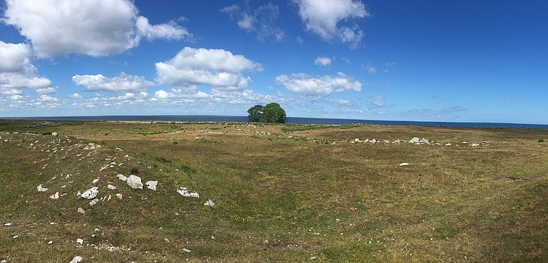
Svenska: Fornborgen, det sk Slottet, på Östergarnsholm RAÄ-nr Östergarn 20:1 / L1975:2084. Mitt i bild ligger den norra yttre mursträckningen. Träden i bakgrunden växer vid en av fyrpersonalens f.d. trädgårdsland.
|
||
| Date | |||
| Source | Own work | ||
| Author | Ny Björn Gustafsson |
| Camera location | | View this and other nearby images on: OpenStreetMap |
|---|
Licensing
edit
I, the copyright holder of this work, hereby publish it under the following license:
This file is licensed under the Creative Commons Attribution 4.0 International license.
- You are free:
- to share – to copy, distribute and transmit the work
- to remix – to adapt the work
- Under the following conditions:
- attribution – You must give appropriate credit, provide a link to the license, and indicate if changes were made. You may do so in any reasonable manner, but not in any way that suggests the licensor endorses you or your use.

|
This image was uploaded as part of Wiki Loves Monuments 2020.
|
File history
Click on a date/time to view the file as it appeared at that time.
| Date/Time | Thumbnail | Dimensions | User | Comment | |
|---|---|---|---|---|---|
| current | 14:33, 22 September 2020 | | 7,574 × 3,634 (6.7 MB) | Ny Björn (talk | contribs) | Uploaded own work with UploadWizard |
You cannot overwrite this file.
File usage on Commons
The following page uses this file: