File:Fort Leavenworth Topographic Map - DPLA - 69e86a32f108832e0b9b9bf5ba29c2d7 (page 186).jpg

Size of this preview: 614 × 600 pixels. Other resolutions: 246 × 240 pixels | 491 × 480 pixels | 786 × 768 pixels | 1,048 × 1,024 pixels | 2,096 × 2,048 pixels | 5,400 × 5,276 pixels.
Original file (5,400 × 5,276 pixels, file size: 2.57 MB, MIME type: image/jpeg)
Captions
Captions
Add a one-line explanation of what this file represents
Summary
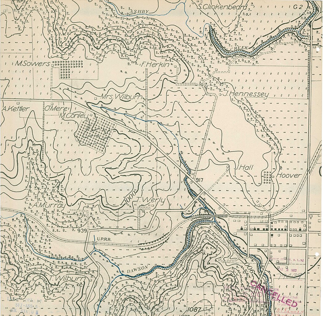
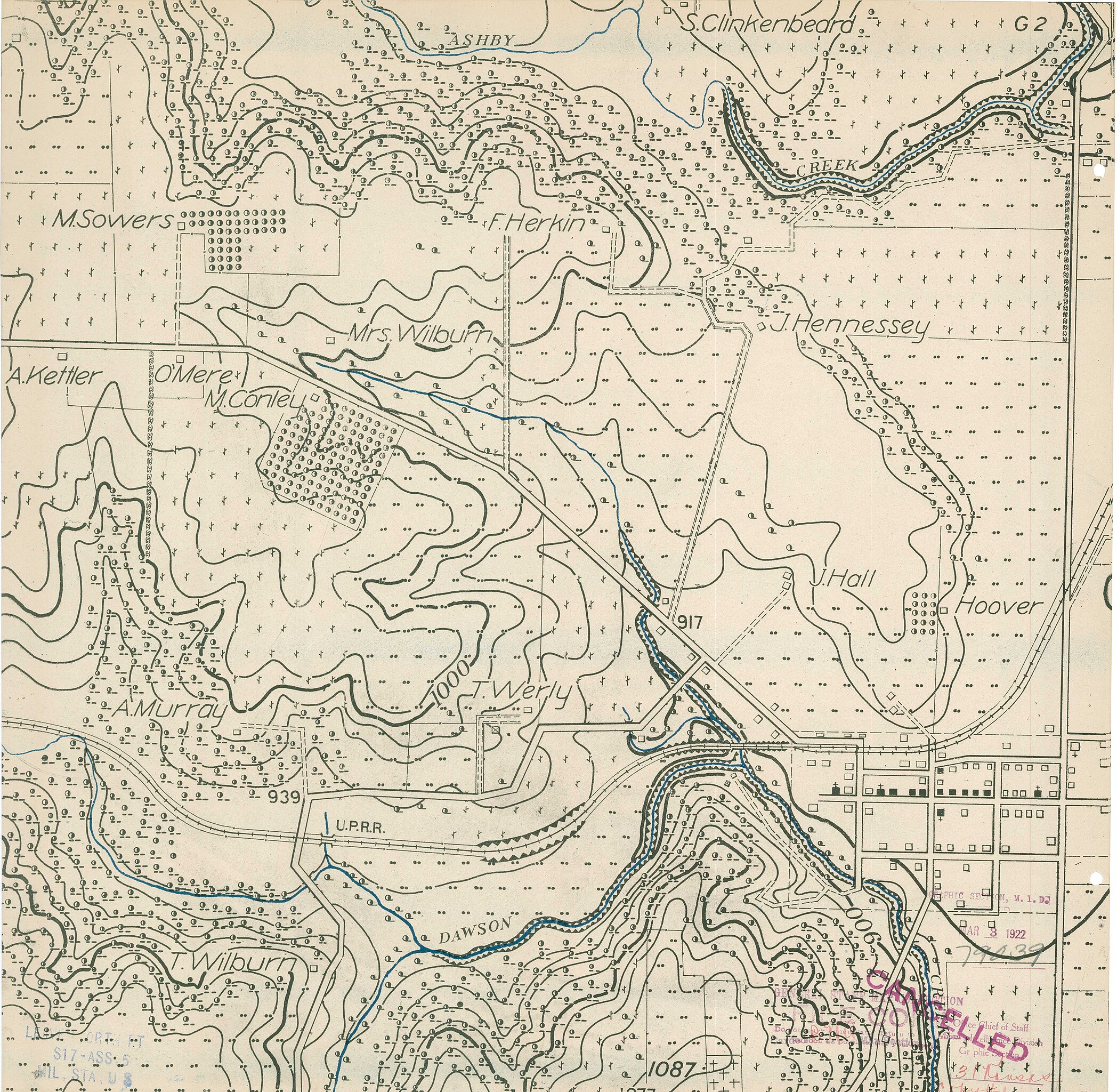
edit| Fort Leavenworth Topographic Map
( |
||||||||||||||
|---|---|---|---|---|---|---|---|---|---|---|---|---|---|---|
| Creator | War Department. Office of the Chief of Engineers. War Department Map Collection. 1939-1942 | |||||||||||||
| Title |
Fort Leavenworth Topographic Map |
|||||||||||||
| Date | 1939-01-01/1942-12-31 | |||||||||||||
| Collection |
|
|||||||||||||
| Source/Photographer |
|
|||||||||||||
| Permission (Reusing this file) |
|
|||||||||||||
| Standardized rights statement |
|
|||||||||||||


.jpg&action=edit§ion=1)
File history
Click on a date/time to view the file as it appeared at that time.
| Date/Time | Thumbnail | Dimensions | User | Comment | |
|---|---|---|---|---|---|
| current | 01:15, 8 March 2023 | | 5,400 × 5,276 (2.57 MB) | DPLA bot (talk | contribs) | Uploading DPLA ID dpla:69e86a32f108832e0b9b9bf5ba29c2d7 |
You cannot overwrite this file.
File usage on Commons
The following page uses this file:
.jpg)
.jpg&oldid=864468831)