File:Foto taken from the Meyringer-Warte - panoramio (2).jpg
Size of this preview: 800 × 600 pixels. Other resolutions: 320 × 240 pixels | 640 × 480 pixels | 1,024 × 768 pixels | 1,280 × 960 pixels | 2,560 × 1,920 pixels.
Original file (2,560 × 1,920 pixels, file size: 792 KB, MIME type: image/jpeg)
Captions
Captions
Add a one-line explanation of what this file represents
Summary
edit.jpg&action=edit§ion=1)
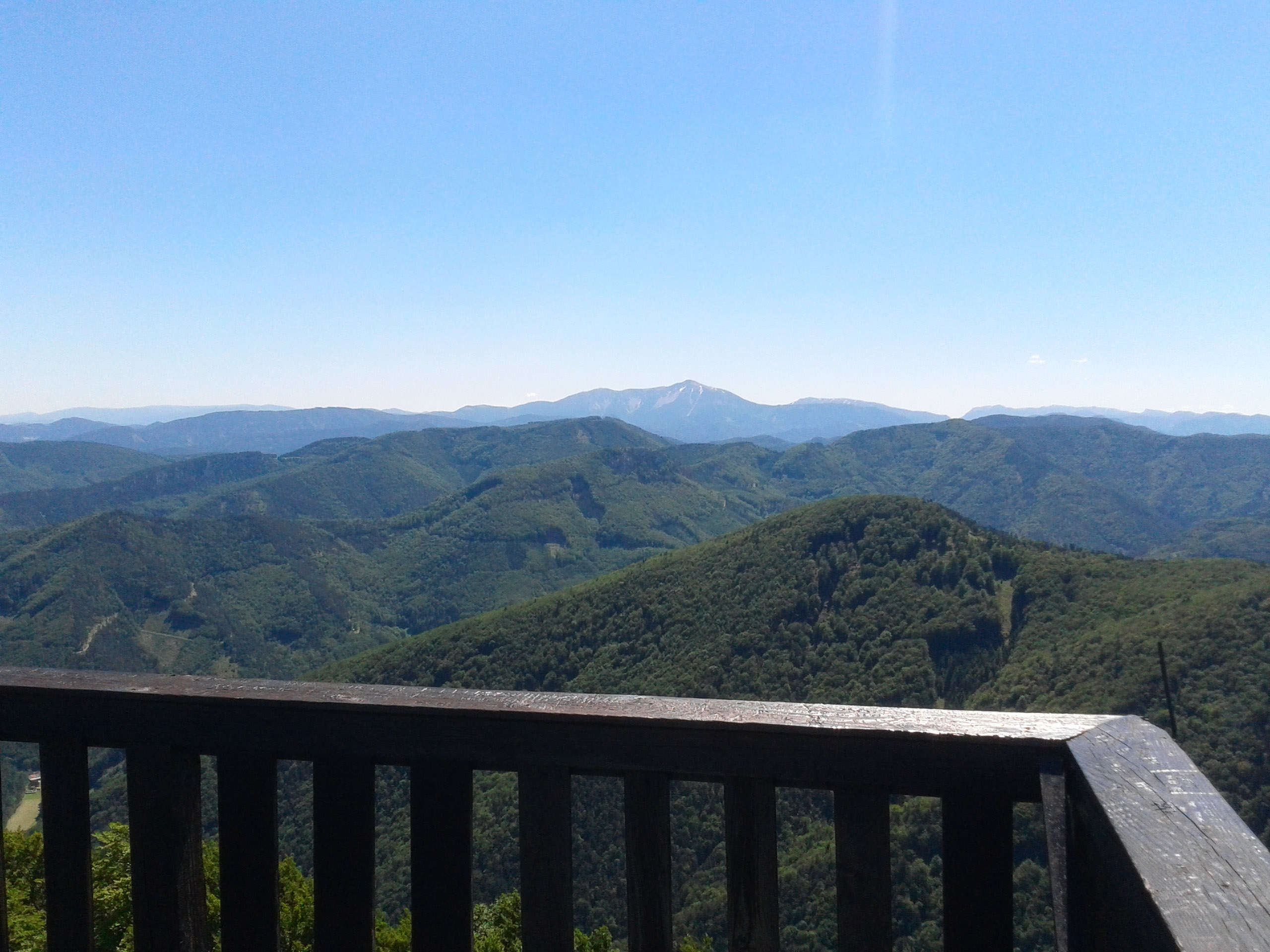
| Description | Foto taken from the Meyringer-Warte | ||
| Date | Taken on 16 June 2012 | ||
| Source | https://web.archive.org/web/20161026215807/http://www.panoramio.com/photo/73854389 | ||
| Author | ArtVandelay | ||
| Permission (Reusing this file) |
This file is licensed under the Creative Commons Attribution-Share Alike 3.0 Unported license. Attribution: ArtVandelay
|
||
| Tags (from Panoramio photo page) | Gemeinde Furth an der Triesting, Hocheck, Meyringer-Warte, Schutzhaus Hocheck |
| Camera location | | View this and other nearby images on: OpenStreetMap |
|---|
.jpg¶ms=047.996770_N_0015.951720_E_globe:Earth_type:camera_source:Panoramio_&language=en)
| Annotations | This image is annotated: View the annotations at Commons |
.jpg)
File history
Click on a date/time to view the file as it appeared at that time.
| Date/Time | Thumbnail | Dimensions | User | Comment | |
|---|---|---|---|---|---|
| current | 19:09, 3 January 2017 | | 2,560 × 1,920 (792 KB) | Panoramio upload bot (talk | contribs) | == {{int:filedesc}} == {{Information |description=Foto taken from the Meyringer-Warte |date={{Taken on|2012-06-16}} |source=http://www.panoramio.com/photo/73854389 |author=[http://www.panoramio.com/user/5311430?with_photo_id=73854389 ArtVandelay] |perm... |
You cannot overwrite this file.
File usage on Commons
There are no pages that use this file.
.jpg&oldid=819358692)