File:Franklin County 26 NY.svg

Size of this PNG preview of this SVG file: 451 × 451 pixels. Other resolutions: 240 × 240 pixels | 480 × 480 pixels | 768 × 768 pixels | 1,024 × 1,024 pixels | 2,048 × 2,048 pixels.
Original file (SVG file, nominally 451 × 451 pixels, file size: 11 KB)
Captions
Captions
Add a one-line explanation of what this file represents
Summary edit
| Description |
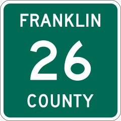
English: 450 mm by 450 mm (18 in by 18 in) Franklin County route marker. All measurements are based on photographs of markers in the field. Uses the Roadgeek 2005 fonts. (United States law does not permit the copyrighting of typeface designs, and the fonts are meant to be copies of a U.S. Government-produced work anyway.) Since the marker consists solely of text and shapes, it is ineligible for copyright. |
| Date | |
| Source | Own work |
| Author | TwinsMetsFan |
Licensing edit
| This work is ineligible for copyright and therefore in the public domain because it consists entirely of information that is common property and contains no original authorship. |
File history
Click on a date/time to view the file as it appeared at that time.
| Date/Time | Thumbnail | Dimensions | User | Comment | |
|---|---|---|---|---|---|
| current | 22:27, 22 March 2012 | | 451 × 451 (11 KB) | TwinsMetsFan (talk | contribs) | |
| 01:51, 4 November 2010 |  | 450 × 450 (12 KB) | TwinsMetsFan (talk | contribs) | {{Information |Description={{en|1=450 mm by 450 mm (18 in by 18 in) Franklin County route marker. All measurements are based on photographs of markers in the field. Uses the [http://www.triskele.com/fonts/index.html Roadgeek 2005 fonts]. (United States la |
You cannot overwrite this file.
File usage on Commons
The following 4 pages use this file:
File usage on other wikis
The following other wikis use this file: