File:Franz Kauffer, Carte de Constantinople (FL33127510 2370302) (cropped2).jpg
Size of this preview: 773 × 600 pixels. Other resolutions: 310 × 240 pixels | 619 × 480 pixels | 990 × 768 pixels | 1,280 × 993 pixels | 1,909 × 1,481 pixels.
Original file (1,909 × 1,481 pixels, file size: 4.6 MB, MIME type: image/jpeg)
Captions
Captions
Add a one-line explanation of what this file represents
Summary edit
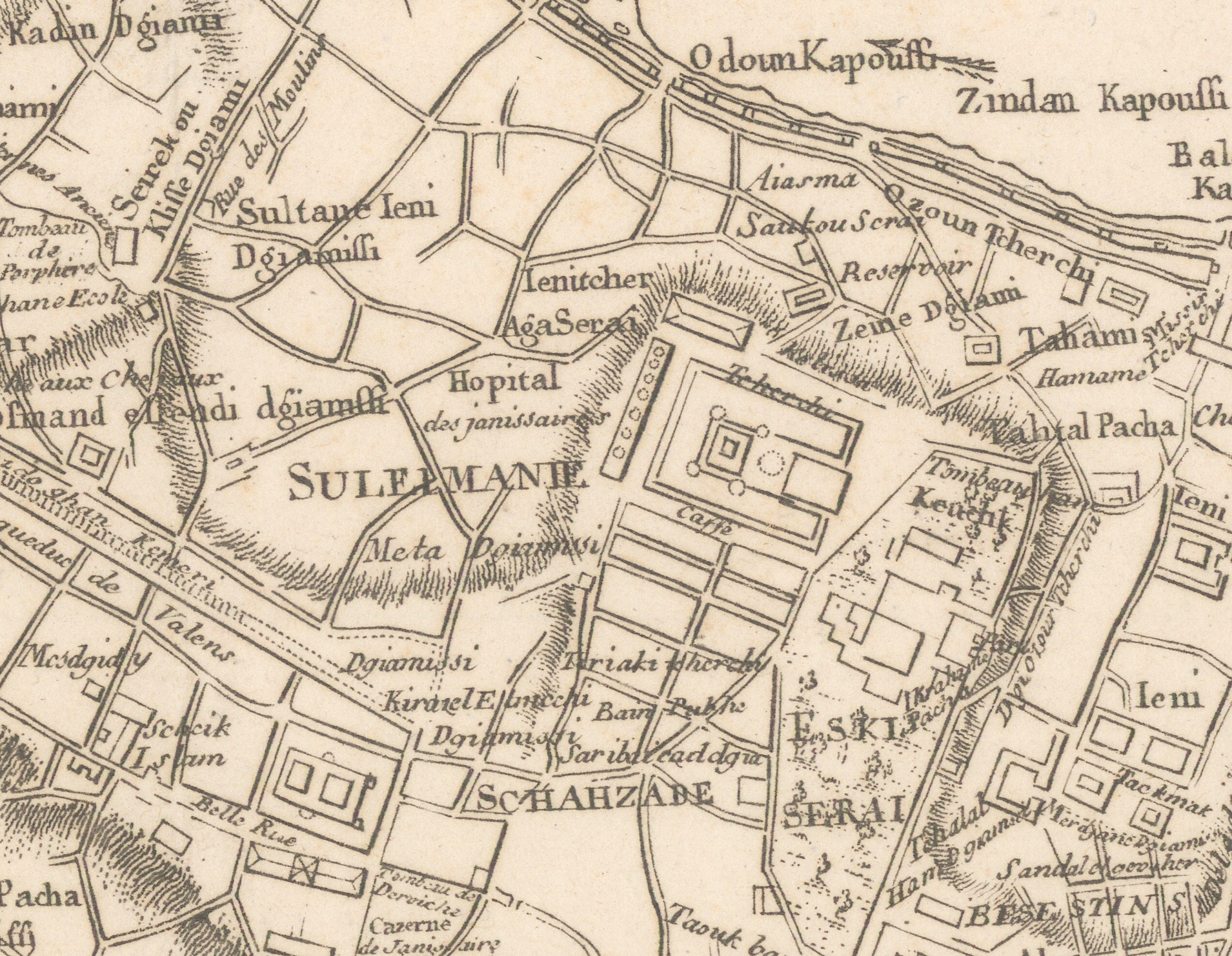
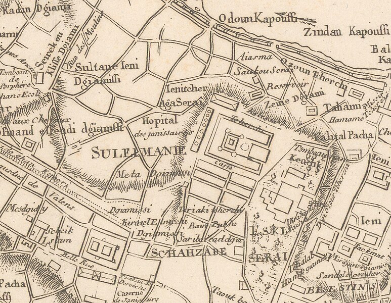
| Carte de Constantinople
|
||||||||||||||||||||||||||||||||||||||||||
|---|---|---|---|---|---|---|---|---|---|---|---|---|---|---|---|---|---|---|---|---|---|---|---|---|---|---|---|---|---|---|---|---|---|---|---|---|---|---|---|---|---|---|
| Artist |
|
.jpg) | ||||||||||||||||||||||||||||||||||||||||
| Title |
Carte de Constantinople |
|||||||||||||||||||||||||||||||||||||||||
| Publisher | ||||||||||||||||||||||||||||||||||||||||||
| Object type |
topographic map |
|||||||||||||||||||||||||||||||||||||||||
| Genre |
map |
|||||||||||||||||||||||||||||||||||||||||
| Description |
Carte de Constantinople. Levée par F. Kauffer et J.B. Lechevalier. Français : Plan de la ville de Constantinople et de ses faubourgs, tant en Europe qu'en Asie / levé géométriquement en 1776 par Fr. Kauffer ; vérifié et augmenté en 1786 par le même Fr. Kauffer et par M. Le Chevalier. |
|||||||||||||||||||||||||||||||||||||||||
| Language |
French |
|||||||||||||||||||||||||||||||||||||||||
| Publication date |
1786 |
|||||||||||||||||||||||||||||||||||||||||
| Dimensions |
height: 453 mm (17.8 in) |
|||||||||||||||||||||||||||||||||||||||||
| Collection |
|
|||||||||||||||||||||||||||||||||||||||||
| Current location |
|
|||||||||||||||||||||||||||||||||||||||||
| Place of publication |
Paris |
|||||||||||||||||||||||||||||||||||||||||
| Notes | ||||||||||||||||||||||||||||||||||||||||||
| IE PID | IE33127508 | |||||||||||||||||||||||||||||||||||||||||
| Rosetta filename | FL33127510 | |||||||||||||||||||||||||||||||||||||||||
| NNL item ID (P3959) | 990023703020205171 | |||||||||||||||||||||||||||||||||||||||||
| search Merhav catalog | Franz Kauffer, Jean-Baptiste Lechevalier, French, 1786 | |||||||||||||||||||||||||||||||||||||||||
| References | Franz Xaver “von” Zach, Allgemeine geographische Ephemeriden, 1803 | |||||||||||||||||||||||||||||||||||||||||
| Authority file | ||||||||||||||||||||||||||||||||||||||||||
| Source/Photographer |
|
|||||||||||||||||||||||||||||||||||||||||
| Other versions | ||||||||||||||||||||||||||||||||||||||||||
| Jpg / Tif version |
|
|||||||||||||||||||||||||||||||||||||||||


_(cropped2).jpg&action=edit§ion=1)
Licensing edit
_(cropped2).jpg&action=edit§ion=2)
The copyright situation of this work is theoretically uncertain, because in the country of origin copyright lasts 70 years after the death of the author, and the date of the author's death is unknown. However, the date of creation of the work was over 120 years ago, and it is thus a reasonable assumption that the copyright has expired (see here for the community discussion). Do not use this template if the date of death of the author is known.
| |
| This file has been identified as being free of known restrictions under copyright law, including all related and neighboring rights. | |
| Annotations | This image is annotated: View the annotations at Commons |
_(cropped2).jpg)
File history
Click on a date/time to view the file as it appeared at that time.
| Date/Time | Thumbnail | Dimensions | User | Comment | |
|---|---|---|---|---|---|
| current | 21:44, 23 July 2023 | | 1,909 × 1,481 (4.6 MB) | Geagea (talk | contribs) | File:Franz Kauffer, Carte de Constantinople (FL33127510 2370302).jpg cropped 88 % horizontally, 87 % vertically using CropTool with precise mode. |
You cannot overwrite this file.
File usage on Commons
The following 3 pages use this file:
_(cropped2).jpg)
_(cropped2).jpg&oldid=869436730)