File:Fredericia Rådhus IM7975 C.JPG

Size of this preview: 800 × 533 pixels. Other resolutions: 320 × 213 pixels | 640 × 427 pixels | 1,024 × 683 pixels | 1,280 × 853 pixels | 2,560 × 1,707 pixels | 4,272 × 2,848 pixels.
Original file (4,272 × 2,848 pixels, file size: 4.14 MB, MIME type: image/jpeg)
Captions
Captions
Add a one-line explanation of what this file represents
Summary edit
| Description |
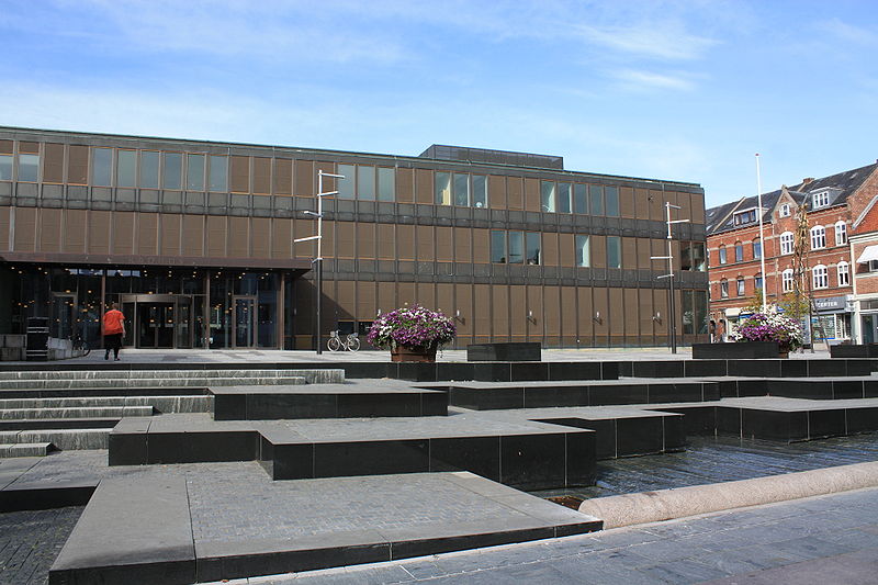
English: Fredericia Rådhus - Town Hall in Fredericia
Suomi: Fredericia Rådhus - Frederisian kaupungintalo |
| Date | |
| Source | Self-photographed |
| Author | Anneli Salo |
| Object location | | View this and other nearby images on: OpenStreetMap |
|---|
| Camera location | | View this and other nearby images on: OpenStreetMap |
|---|
55° 33.922' N 9° 45.396' E
Licensing edit
This file is licensed under the Creative Commons Attribution-Share Alike 3.0 Unported license.
- You are free:
- to share – to copy, distribute and transmit the work
- to remix – to adapt the work
- Under the following conditions:
- attribution – You must give appropriate credit, provide a link to the license, and indicate if changes were made. You may do so in any reasonable manner, but not in any way that suggests the licensor endorses you or your use.
- share alike – If you remix, transform, or build upon the material, you must distribute your contributions under the same or compatible license as the original.
File history
Click on a date/time to view the file as it appeared at that time.
| Date/Time | Thumbnail | Dimensions | User | Comment | |
|---|---|---|---|---|---|
| current | 03:58, 23 September 2009 | | 4,272 × 2,848 (4.14 MB) | Annelis (talk | contribs) | {{Information |Description={{en|1=Fredericia Rådhus - Town Hall in Fredericia}} {{fi|1=Fredericia Rådhus - Frederisian kaupungintalo}} |Source=Own photo |Author=Anneli Salo |Date=2009-09-17 |Permission= |other_versions= }} 55° 33.922' N 9° 45.396' E |
You cannot overwrite this file.
File usage on Commons
There are no pages that use this file.
File usage on other wikis
The following other wikis use this file:
- Usage on es.wikipedia.org
- Usage on la.wikipedia.org
- Usage on lt.wikipedia.org
- Usage on sr.wikipedia.org