File:Frederikshøj, Vermessungspunkt Koeniglich Preussisches Nivellement.jpg

Size of this preview: 450 × 600 pixels. Other resolutions: 180 × 240 pixels | 360 × 480 pixels | 576 × 768 pixels | 768 × 1,024 pixels | 1,536 × 2,048 pixels.
Original file (1,536 × 2,048 pixels, file size: 738 KB, MIME type: image/jpeg)
Captions
Captions
Add a one-line explanation of what this file represents
Summary
edit
| Description |
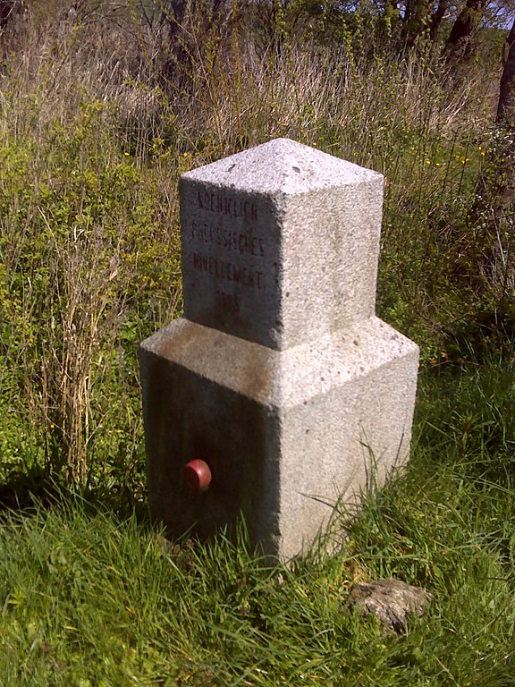
Deutsch: Frederikshøj, Vermessungspunkt Koeniglich Preussisches Nivellement von 1885 |
| Date | Taken on 2 May 2017, 13:14 |
| Source | Self-photographed |
| Author | Manfred Schröter, Berga |
| Camera location | | View this and other nearby images on: OpenStreetMap |
|---|
Licensing
edit
Manfred Schröter, Berga, the copyright holder of this work, hereby publishes it under the following license:
This file is licensed under the Creative Commons Attribution-Share Alike 4.0 International license.
Attribution: Manfred Schröter, Berga
- You are free:
- to share – to copy, distribute and transmit the work
- to remix – to adapt the work
- Under the following conditions:
- attribution – You must give appropriate credit, provide a link to the license, and indicate if changes were made. You may do so in any reasonable manner, but not in any way that suggests the licensor endorses you or your use.
- share alike – If you remix, transform, or build upon the material, you must distribute your contributions under the same or compatible license as the original.
File history
Click on a date/time to view the file as it appeared at that time.
| Date/Time | Thumbnail | Dimensions | User | Comment | |
|---|---|---|---|---|---|
| current | 19:51, 1 May 2018 | | 1,536 × 2,048 (738 KB) | Manfred Schröter, Berga (talk | contribs) | {{Information |Description={{de|1=Frederikshøj, Vermessungspunkt Koeniglich Preussisches Nivellement von 1885}} |Source={{own photo}} |Date={{taken on|location=Denmark|2017-05-02 13:14}} |Author=Manfred Schröter, Berga |Permission= |other_versions= }} {{GPS EXIF}} == {{int:license-header}} == {{self|cc-by-sa-4.0|author=Manfred Schröter, Berga}} 1165 Category:Christiansfeld Category:Trig points in Denmark [[Category:Taken with Garmin Orego... |
You cannot overwrite this file.
File usage on Commons
The following page uses this file:
File usage on other wikis
The following other wikis use this file:
- Usage on de.wikipedia.org