File:From Alpe Logone towards Val Garlasca.jpg

Size of this preview: 800 × 253 pixels. Other resolutions: 320 × 101 pixels | 640 × 202 pixels | 1,024 × 324 pixels | 1,280 × 404 pixels | 6,222 × 1,966 pixels.
Original file (6,222 × 1,966 pixels, file size: 6.96 MB, MIME type: image/jpeg)
Captions
Captions
Add a one-line explanation of what this file represents
Summary
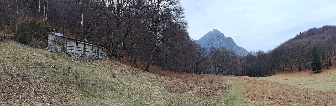
edit| Description |
Italiano: ll grande pianoro della Val Garlasca, visto scendendo dall'Alpe Logone in direzione del bivio tra il sentiero per la località Spin (percorso dal sentiero delle Quattro Valli) e quello per l'Alpe Erba. |
| Date | |
| Source | Own work |
| Author | Kaitu |
| OpenStreetMap | Way 1157938260 |
| Object location | | View this and other nearby images on: OpenStreetMap |
|---|
| Camera location | | View this and other nearby images on: OpenStreetMap |
|---|
Licensing
editI, the copyright holder of this work, hereby publish it under the following license:
This file is licensed under the Creative Commons Attribution-Share Alike 4.0 International license.
- You are free:
- to share – to copy, distribute and transmit the work
- to remix – to adapt the work
- Under the following conditions:
- attribution – You must give appropriate credit, provide a link to the license, and indicate if changes were made. You may do so in any reasonable manner, but not in any way that suggests the licensor endorses you or your use.
- share alike – If you remix, transform, or build upon the material, you must distribute your contributions under the same or compatible license as the original.
| Annotations | This image is annotated: View the annotations at Commons |

File history
Click on a date/time to view the file as it appeared at that time.
| Date/Time | Thumbnail | Dimensions | User | Comment | |
|---|---|---|---|---|---|
| current | 19:33, 16 May 2023 | 6,222 × 1,966 (6.96 MB) | Kaitu (talk | contribs) | Uploaded own work with UploadWizard |
You cannot overwrite this file.
File usage on Commons
The following page uses this file: