File:Fujimatsu 1961-04-20.png

Size of this preview: 471 × 600 pixels. Other resolutions: 188 × 240 pixels | 377 × 480 pixels | 603 × 768 pixels | 1,064 × 1,355 pixels.
Original file (1,064 × 1,355 pixels, file size: 1.44 MB, MIME type: image/png)
Captions
Captions
Add a one-line explanation of what this file represents
Summary edit
| Description |
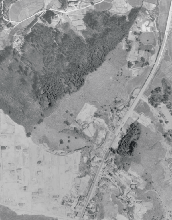
日本語: 藤松の航空写真(1961年4月20日国土地理院撮影) |
| Date | |
| Source | https://mapps.gsi.go.jp/map-lib-api/apiContentsView.do?specificationId=42356 |
| Author | 国土地理院 |
Licensing edit

|
The copyright holder of this file, the Ministry of Land, Infrastructure, Transport and Tourism of Japan, allows anyone to use it for any purpose, provided that the copyright holder is properly attributed. Redistribution, derivative work, commercial use, and all other use is permitted. |
Attribution:
Copyright © National Land Image Information (Color Aerial Photographs), Ministry of Land, Infrastructure, Transport and Tourism
|
 |
This image is copyrighted by the Ministry of Land, Infrastructure, Transport and Tourism of Japan. For terms of use, see the stipulation to use of National Land Information (in Japanese) and message from MLIT (in Japanese and English). When you display this image on an article, include the following phrase in the description: "Made based on National Land Image Information (Color Aerial Photographs), Ministry of Land, Infrastructure, Transport and Tourism".
|
File history
Click on a date/time to view the file as it appeared at that time.
| Date/Time | Thumbnail | Dimensions | User | Comment | |
|---|---|---|---|---|---|
| current | 13:47, 11 January 2023 | | 1,064 × 1,355 (1.44 MB) | 七厩拓 (talk | contribs) | Uploaded a work by 国土地理院 from https://mapps.gsi.go.jp/map-lib-api/apiContentsView.do?specificationId=42356 with UploadWizard |
You cannot overwrite this file.
File usage on Commons
There are no pages that use this file.
File usage on other wikis
The following other wikis use this file:
- Usage on ja.wikipedia.org