File:Fulica atra - Eurasian Coot - Blässhuhn - Moenchbruch - Mönchbruch - 05.jpg

Size of this preview: 800 × 530 pixels. Other resolutions: 320 × 212 pixels | 640 × 424 pixels | 1,024 × 678 pixels | 1,280 × 848 pixels | 2,560 × 1,696 pixels | 3,279 × 2,172 pixels.
Original file (3,279 × 2,172 pixels, file size: 2.71 MB, MIME type: image/jpeg)
Captions
Captions
Add a one-line explanation of what this file represents
Summary
edit
| Camera location | | View this and other nearby images on: OpenStreetMap |
|---|
| Description |
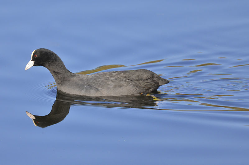
Deutsch: Blässhuhn, früher Blesshuhn, Blessralle.
(Regionale Namen sind Wasserhuhn, Rohrhuhn, Duckente, Belche, Blesse, Bölle, Böichn, Hurbel, Lietze, Zappe, Watertütje (Plattdeutsch) und Taucherli (Schweiz)). Ort: Mönchbruchsee, Hessen, Deutschland.English: Eurasian Coot, Fulica atra, also known as Coot.
Location: Moenchbruch pond, Hesse, Germany. |
| Date | |
| Source | Own work |
| Author | Norbert Nagel |
Licensing
edit
I, the copyright holder of this work, hereby publish it under the following license:
This file is licensed under the Creative Commons Attribution-Share Alike 3.0 Unported license.
- You are free:
- to share – to copy, distribute and transmit the work
- to remix – to adapt the work
- Under the following conditions:
- attribution – You must give appropriate credit, provide a link to the license, and indicate if changes were made. You may do so in any reasonable manner, but not in any way that suggests the licensor endorses you or your use.
- share alike – If you remix, transform, or build upon the material, you must distribute your contributions under the same or compatible license as the original.
File history
Click on a date/time to view the file as it appeared at that time.
| Date/Time | Thumbnail | Dimensions | User | Comment | |
|---|---|---|---|---|---|
| current | 20:01, 3 January 2012 | | 3,279 × 2,172 (2.71 MB) | NorbertNagel (talk | contribs) |
You cannot overwrite this file.
File usage on Commons
The following page uses this file:
File usage on other wikis
The following other wikis use this file:
- Usage on zh.wikipedia.org