File:GSI CCB20204-C7-12 20200624.jpg

Size of this preview: 648 × 600 pixels. Other resolutions: 259 × 240 pixels | 518 × 480 pixels | 830 × 768 pixels | 1,106 × 1,024 pixels | 2,212 × 2,048 pixels | 4,032 × 3,733 pixels.
Original file (4,032 × 3,733 pixels, file size: 2.24 MB, MIME type: image/jpeg)
Captions
Captions
Add a one-line explanation of what this file represents
Summary
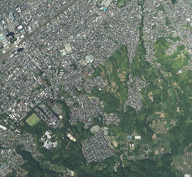
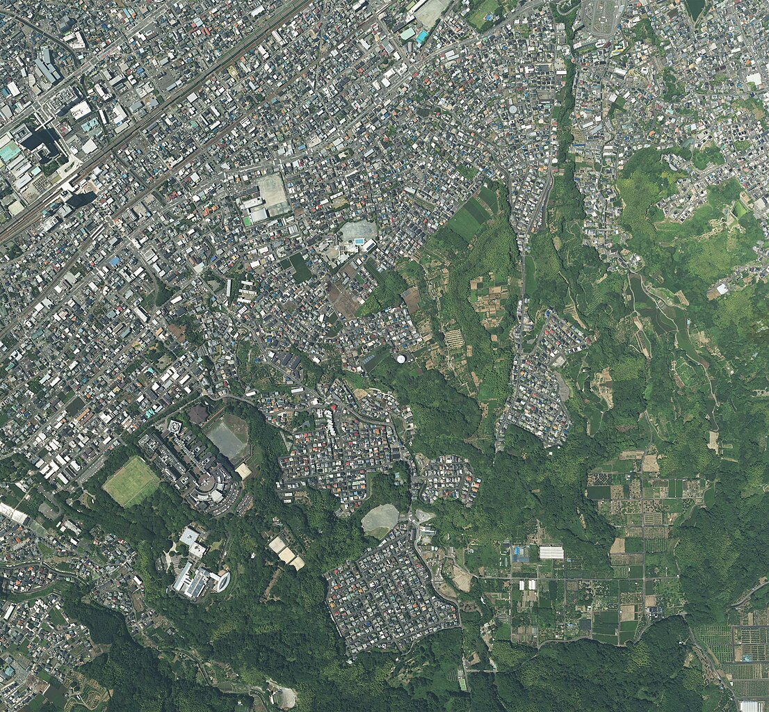
edit| Description | The Geospatial Information Authority took the aerial photograph in Shizuoka City, Shizuoka Prefecture on June 24, 2020. | ||||
| Date | |||||
| Source | 地図検索表示画面 | ||||
| Author | 国土地理院 | ||||
| Permission (Reusing this file) |
This file is licensed under the Creative Commons Attribution 4.0 International license. Attribution: 国土地理院ウェブサイト
|
||||
| Other versions |


File history
Click on a date/time to view the file as it appeared at that time.
| Date/Time | Thumbnail | Dimensions | User | Comment | |
|---|---|---|---|---|---|
| current | 18:12, 9 September 2022 | | 4,032 × 3,733 (2.24 MB) | ApiaJanakuteKusanagiCampusDeMatteru (talk | contribs) | {{Information |Description=The Geospatial Information Authority took the aerial photograph in Shizuoka City, Shizuoka Prefecture on June 24, 2020. |Source=[https://mapps.gsi.go.jp/maplibSearch.do?specificationId=1887280 地図検索表示画面] |Date=2020-06-24 |Author=国土地理院 |Permission={{Gjstu-2.0|terms=https://www.gsi.go.jp/kikakuchousei/kikakuchousei40182.html|attr=国土地理院ウェブサイト}}{{LicenseReview}}... |
You cannot overwrite this file.
File usage on Commons
The following page uses this file: