File:GSI CTO20151X-C9-9 20151001.jpg
Size of this preview: 800 × 522 pixels. Other resolutions: 320 × 209 pixels | 640 × 418 pixels | 1,024 × 668 pixels | 1,280 × 836 pixels | 2,560 × 1,671 pixels | 4,810 × 3,140 pixels.
Original file (4,810 × 3,140 pixels, file size: 1.41 MB, MIME type: image/jpeg)
Captions
Captions
Add a one-line explanation of what this file represents
Summary edit
| Description |
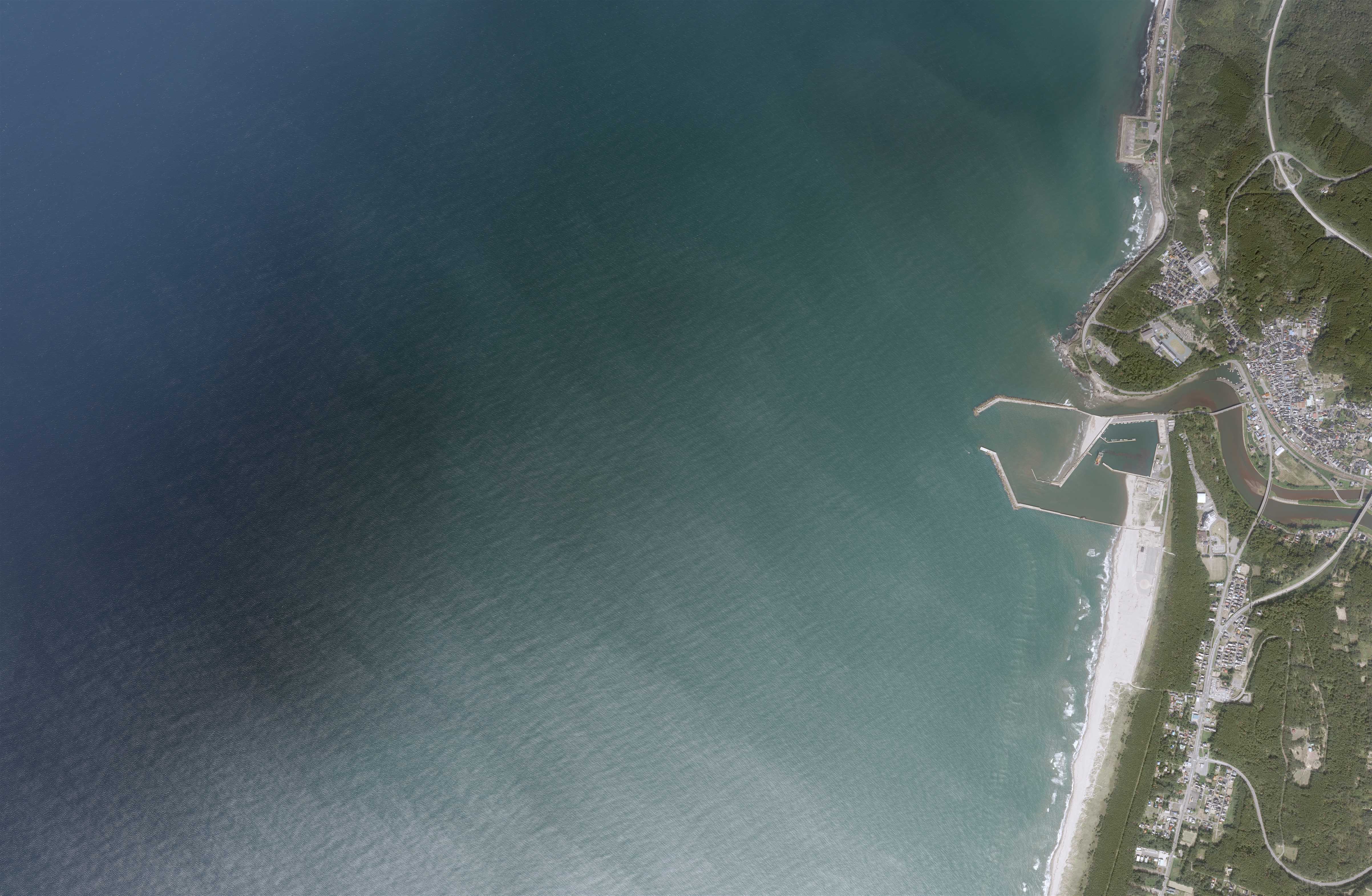
日本語: 遊佐町付近の空中写真 |
| Date | |
| Source | 国土地理院「地図・空中写真閲覧サービス」の空中写真 整理番号=CTO20151X コース番号=C9 写真番号=9 https://mapps.gsi.go.jp/maplibSearch.do?specificationId=1653469 |
| Author |
日本語: 国土地理院 |
Licensing edit

|
This work is licensed under the Government of Japan Standard Terms of Use (Ver.2.0). The Terms of Use are compatible with the Creative Commons Attribution License 4.0 International. For the terms of use of this work, see this license page.
|
This file is licensed under the Creative Commons Attribution 4.0 International license.
Attribution: 国土地理院 (GSI)
- You are free:
- to share – to copy, distribute and transmit the work
- to remix – to adapt the work
- Under the following conditions:
- attribution – You must give appropriate credit, provide a link to the license, and indicate if changes were made. You may do so in any reasonable manner, but not in any way that suggests the licensor endorses you or your use.
File history
Click on a date/time to view the file as it appeared at that time.
| Date/Time | Thumbnail | Dimensions | User | Comment | |
|---|---|---|---|---|---|
| current | 09:18, 24 May 2019 | | 4,810 × 3,140 (1.41 MB) | Ultzsahari (talk | contribs) | User created page with UploadWizard |
You cannot overwrite this file.
File usage on Commons
The following page uses this file: