File:GS Kungsbacka.svg

Size of this PNG preview of this SVG file: 800 × 596 pixels. Other resolutions: 320 × 238 pixels | 640 × 477 pixels | 1,024 × 763 pixels | 1,280 × 954 pixels | 2,560 × 1,908 pixels | 5,952 × 4,436 pixels.
Original file (SVG file, nominally 5,952 × 4,436 pixels, file size: 658 KB)
Captions
Captions
Add a one-line explanation of what this file represents
| Description |
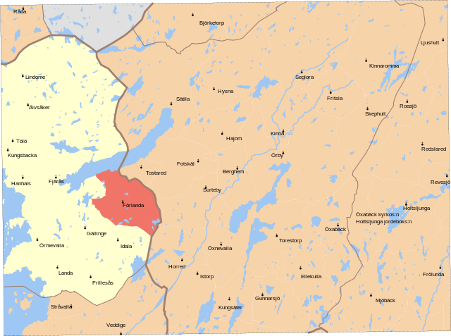
English: Map showing borders of parishes and hundreds in the vicinity of Kungsbacka, based on information from map by Topografiska Corpsen.
Kongsbacka Geogr. längden är räknad från Stockholms Observatorium, beläget 35(grader)43'195 ost fr. Ferrô. Grav. af Wennersten och Backhoff Topografiska Corpsens karta öfver Sverige 1871 Uppmätt 1839-1842, öfversedd 1865. |
| Date | (1871) |
| Source | Lantmäteriet |
| Author | Own work, and Topografiska Corpsen |
| Permission (Reusing this file) |
This file is licensed under the Creative Commons Attribution 3.0 Unported license. Attribution: Edaen
|
| Other versions |
Derivative works of this file: |
File history
Click on a date/time to view the file as it appeared at that time.
| Date/Time | Thumbnail | Dimensions | User | Comment | |
|---|---|---|---|---|---|
| current | 11:27, 8 September 2010 | | 5,952 × 4,436 (658 KB) | Edaen (talk | contribs) | Colours |
| 18:53, 4 September 2010 |  | 5,950 × 4,438 (703 KB) | Edaen (talk | contribs) | {{Information |Description={{en|1=Map showing borders of parishes and hundreds in the vicinity of Kungsbacka, based on information from map by Topografiska Corpsen. <small>'''Kongsbacka''' Geogr. längden är räknad från Stockholms Observatorium, belä |
You cannot overwrite this file.
File usage on Commons
There are no pages that use this file.