File:Gambia location map.svg

Size of this PNG preview of this SVG file: 800 × 400 pixels. Other resolutions: 320 × 160 pixels | 640 × 320 pixels | 1,024 × 512 pixels | 1,280 × 641 pixels | 2,560 × 1,281 pixels | 1,205 × 603 pixels.
Original file (SVG file, nominally 1,205 × 603 pixels, file size: 129 KB)
Captions
Captions
Add a one-line explanation of what this file represents
Summary
edit
| Description |
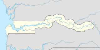
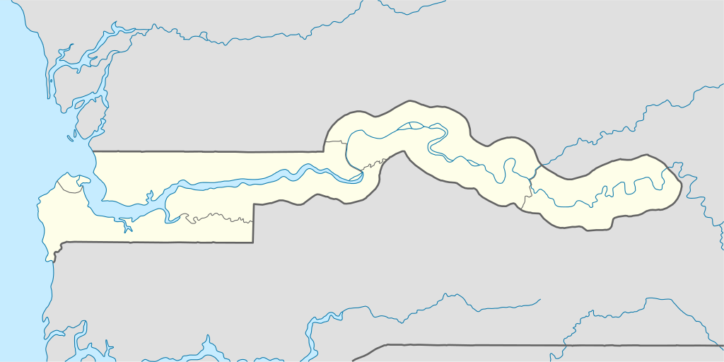
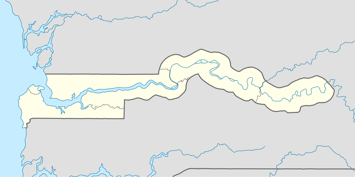
Deutsch: Positionskarte von Gambia
Quadratische Plattkarte. Geographische Begrenzung der Karte:
English: Location map of the Gambia
Equirectangular projection. Geographic limits of the map:
|
| Date | 3 December 2008 (upload date) |
| Source |
own work, using
|
| Author | NordNordWest |

|
This map has been made or improved in the German Kartenwerkstatt (Map Lab). You can propose maps to improve as well.
|
Licensing
edit
I, the copyright holder of this work, hereby publish it under the following licenses:

|
Permission is granted to copy, distribute and/or modify this document under the terms of the GNU Free Documentation License, Version 1.2 or any later version published by the Free Software Foundation; with no Invariant Sections, no Front-Cover Texts, and no Back-Cover Texts. A copy of the license is included in the section entitled GNU Free Documentation License. |
This file is licensed under the Creative Commons Attribution-Share Alike 3.0 Unported license.
- You are free:
- to share – to copy, distribute and transmit the work
- to remix – to adapt the work
- Under the following conditions:
- attribution – You must give appropriate credit, provide a link to the license, and indicate if changes were made. You may do so in any reasonable manner, but not in any way that suggests the licensor endorses you or your use.
- share alike – If you remix, transform, or build upon the material, you must distribute your contributions under the same or compatible license as the original.
You may select the license of your choice.
File history
Click on a date/time to view the file as it appeared at that time.
| Date/Time | Thumbnail | Dimensions | User | Comment | |
|---|---|---|---|---|---|
| current | 20:47, 3 December 2008 | | 1,205 × 603 (129 KB) | NordNordWest (talk | contribs) | {{Information |Description= {{de|Positionskarte von Gambia}} Quadratische Plattkarte. Geographische Begrenzung der Karte: * N: 14.3° N * S: 12.6° N * W: 17.0° W * O: 13.6° W {{en|Location map of Gambia}} Equirectangular p |
You cannot overwrite this file.
File usage on Commons
The following 7 pages use this file:
File usage on other wikis
The following other wikis use this file:
- Usage on bn.wikipedia.org