File:Gantry Plaza td (2019-06-08) 059.jpg

Size of this preview: 800 × 533 pixels. Other resolutions: 320 × 213 pixels | 640 × 427 pixels | 1,024 × 683 pixels | 1,280 × 853 pixels | 2,560 × 1,707 pixels | 5,472 × 3,648 pixels.
Original file (5,472 × 3,648 pixels, file size: 7.04 MB, MIME type: image/jpeg)
Captions
Captions
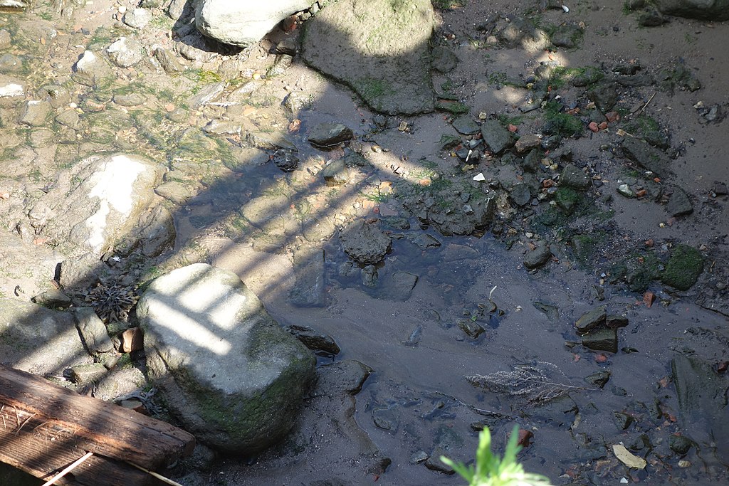
Outfall Sewer, Gantry Plaza State Park, Hunters Point, Queens. Summary
Summary edit
_059.jpg&action=edit§ion=1)
| Description |
English: The rocks at the beginning of the channel between the peninsula park and Stage II of Gantry Plaza State Park, on the East River at Center Boulevard and 47th Road in Hunters Point, Long Island City, Queens. |
| Date | |
| Source | Own work |
| Author | Tdorante10 |
| Camera location | | View this and other nearby images on: OpenStreetMap |
|---|
_059.jpg¶ms=040.745765_N_-073.958374_E_globe:Earth_type:camera__&language=en)
Licensing edit
_059.jpg&action=edit§ion=2)
I, the copyright holder of this work, hereby publish it under the following license:
This file is licensed under the Creative Commons Attribution-Share Alike 4.0 International license.
- You are free:
- to share – to copy, distribute and transmit the work
- to remix – to adapt the work
- Under the following conditions:
- attribution – You must give appropriate credit, provide a link to the license, and indicate if changes were made. You may do so in any reasonable manner, but not in any way that suggests the licensor endorses you or your use.
- share alike – If you remix, transform, or build upon the material, you must distribute your contributions under the same or compatible license as the original.
File history
Click on a date/time to view the file as it appeared at that time.
| Date/Time | Thumbnail | Dimensions | User | Comment | |
|---|---|---|---|---|---|
| current | 02:28, 18 September 2019 | | 5,472 × 3,648 (7.04 MB) | Tdorante10 (talk | contribs) | User created page with UploadWizard |
You cannot overwrite this file.
File usage on Commons
There are no pages that use this file.
_059.jpg&oldid=708263966)