File:Geiselgasteig, Robert-Koch-Str 34, 1.jpeg

Size of this preview: 800 × 600 pixels. Other resolutions: 320 × 240 pixels | 640 × 480 pixels | 1,024 × 768 pixels | 1,280 × 960 pixels | 2,560 × 1,920 pixels | 3,200 × 2,400 pixels.
Original file (3,200 × 2,400 pixels, file size: 2.94 MB, MIME type: image/jpeg)
Captions
Captions
Add a one-line explanation of what this file represents
Summary edit
| Description |
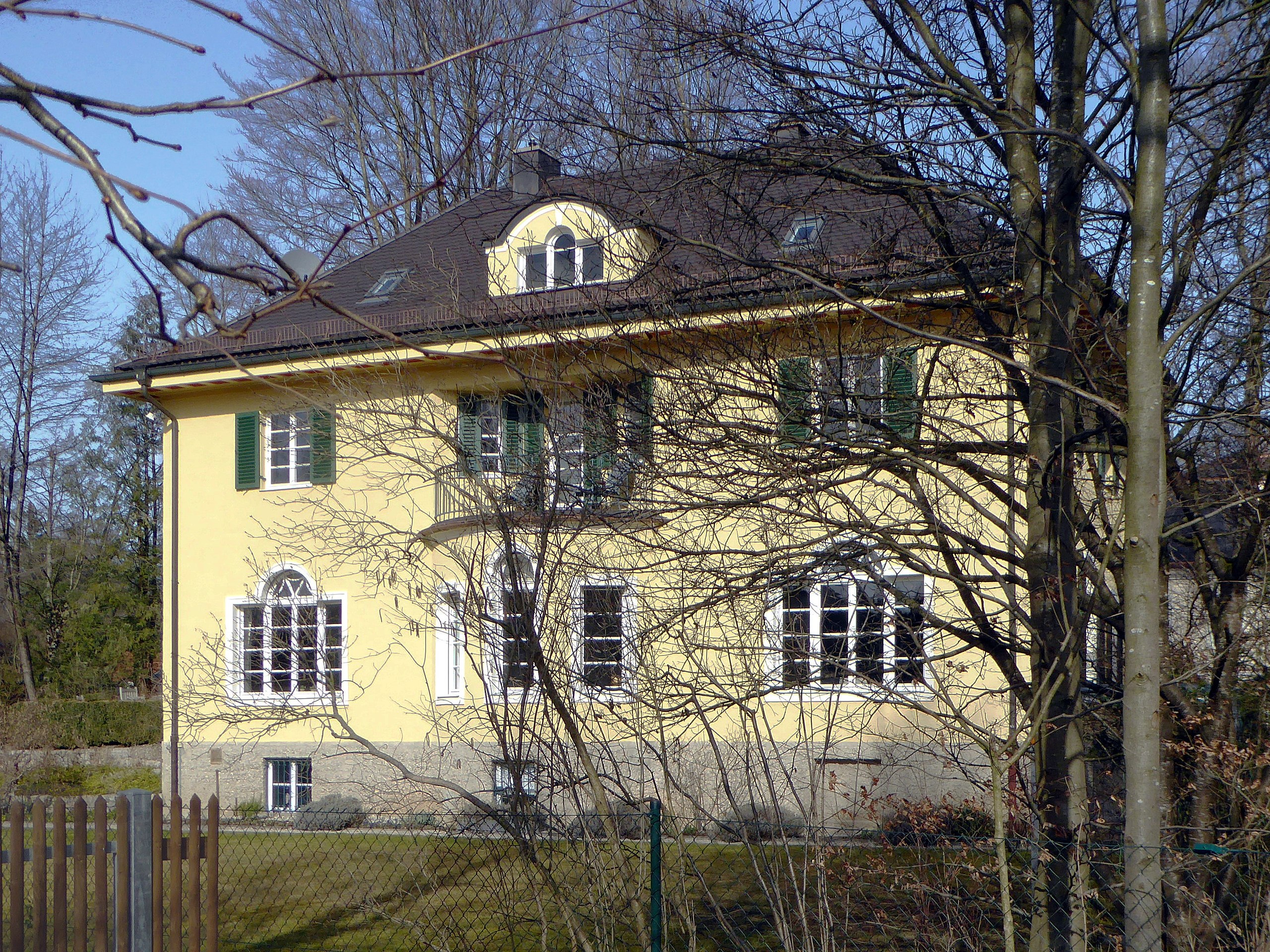
Deutsch: Geiselgasteig, Robert-Koch-Str 34. „Zweigeschossiger Putzbau mit Walmdach und Runderker, in klassizisierenden Formen.“
Esperanto: Geiselgasteig (Grünwald, DE), domo Robert-Koch-Str 34. „Duetaĝa stukita konstruaĵo kun groptegmento kaj ronda korbelo, en klasikismecaj formoj.“
|
|||||
| Date | 1927 | |||||
| Source/Photographer | Self-photographed, Aisano, 2016-02-22 | |||||
| Permission (Reusing this file) |
I, the copyright holder of this work, hereby publish it under the following license:
|
| Camera location | | View this and other nearby images on: OpenStreetMap |
|---|
File history
Click on a date/time to view the file as it appeared at that time.
| Date/Time | Thumbnail | Dimensions | User | Comment | |
|---|---|---|---|---|---|
| current | 13:24, 3 July 2016 | | 3,200 × 2,400 (2.94 MB) | Renardo la vulpo (talk | contribs) | == {{int:filedesc}} == {{Artwork |Title = |Description ={{de|1=Geiselgasteig, Robert-Koch-Str 34. „Zweigeschossiger Putzbau mit Walmdach und Runderker, in klassizisierenden Formen.“}} {{eo|1=Geiselgasteig (Grünwald, DE... |
You cannot overwrite this file.
File usage on Commons
The following 2 pages use this file:
File usage on other wikis
The following other wikis use this file:
- Usage on de.wikipedia.org
- Usage on www.wikidata.org