File:General view from the northeast - Prudhomme House, 424 Jefferson Street, Natchitoches, Natchitoches Parish, LA HABS LA-1311-5.tif

Size of this JPG preview of this TIF file: 800 × 581 pixels. Other resolutions: 320 × 233 pixels | 640 × 465 pixels | 1,024 × 744 pixels | 1,280 × 930 pixels | 2,560 × 1,860 pixels | 5,114 × 3,716 pixels.
Original file (5,114 × 3,716 pixels, file size: 18.13 MB, MIME type: image/tiff)
Captions
Captions
Add a one-line explanation of what this file represents
Summary edit
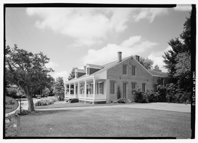
| General view from the northeast - Prudhomme House, 424 Jefferson Street, Natchitoches, Natchitoches Parish, LA | ||||
|---|---|---|---|---|
| Title |
General view from the northeast - Prudhomme House, 424 Jefferson Street, Natchitoches, Natchitoches Parish, LA |
|||
| Description |
DeBelieux, Robert; Cane River National Heritage Area Commission, sponsor; Morgan, Nancy I, M, sponsor; Price, Virginia Barrett, transmitter; Boucher, Jack E, photographer |
|||
| Depicted place | Louisiana; Natchitoches Parish; Natchitoches | |||
| Date | Documentation compiled after 1933 | |||
| Dimensions | 5 x 7 in. | |||
| Current location |
Library of Congress Prints and Photographs Division Washington, D.C. 20540 USA http://hdl.loc.gov/loc.pnp/pp.print |
|||
| Accession number |
HABS LA-1311-5 |
|||
| Credit line |
|
|||
| Notes |
|
|||
| Source | https://www.loc.gov/pictures/item/la0446.photos.210349p | |||
| Permission (Reusing this file) |
|
|||

| Camera location | | View this and other nearby images on: OpenStreetMap |
|---|
File history
Click on a date/time to view the file as it appeared at that time.
| Date/Time | Thumbnail | Dimensions | User | Comment | |
|---|---|---|---|---|---|
| current | 01:14, 18 July 2014 |  | 5,114 × 3,716 (18.13 MB) | Fæ (talk | contribs) | GWToolset: Creating mediafile for Fæ. HABS 17 July 2014 (1401:1600) |
You cannot overwrite this file.
File usage on Commons
The following page uses this file: