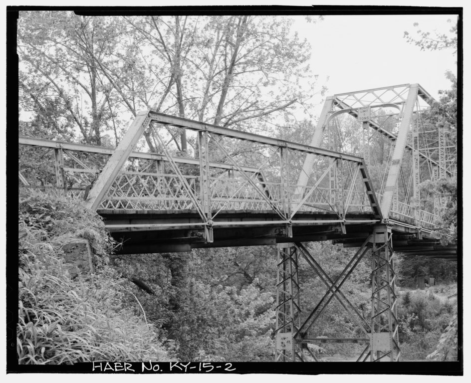
File:General view of pin connected Pratt half-hip end span facing southwest - Kentucky Route 708 Bridge, Spanning Middle Fork of Kentucky River, Tallega, Lee County, KY HAER KY-15-2.tif

Size of this JPG preview of this TIF file: 737 × 600 pixels. Other resolutions: 295 × 240 pixels | 590 × 480 pixels | 944 × 768 pixels | 1,258 × 1,024 pixels | 2,516 × 2,048 pixels | 5,294 × 4,309 pixels.
Original file (5,294 × 4,309 pixels, file size: 21.76 MB, MIME type: image/tiff)
Captions
Captions
Add a one-line explanation of what this file represents
Summary edit
| General view of pin connected Pratt half-hip end span facing southwest - Kentucky Route 708 Bridge, Spanning Middle Fork of Kentucky River, Tallega, Lee County, KY | ||||
|---|---|---|---|---|
| Title |
General view of pin connected Pratt half-hip end span facing southwest - Kentucky Route 708 Bridge, Spanning Middle Fork of Kentucky River, Tallega, Lee County, KY |
|||
| Description |
Calloway, Deborah, transmitter; Daniels, J E, photographer; Rawlings, G D, photographer |
|||
| Depicted place | Kentucky; Lee County; Tallega | |||
| Date | Documentation compiled after 1968 | |||
| Dimensions | 4 x 5 in. | |||
| Current location |
Library of Congress Prints and Photographs Division Washington, D.C. 20540 USA http://hdl.loc.gov/loc.pnp/pp.print |
|||
| Accession number |
HAER KY-15-2 |
|||
| Credit line |
|
|||
| Notes |
|
|||
| Source | https://www.loc.gov/pictures/item/ky0267.photos.195858p | |||
| Permission (Reusing this file) |
|
|||

| Object location | | View this and other nearby images on: OpenStreetMap |
|---|
File history
Click on a date/time to view the file as it appeared at that time.
| Date/Time | Thumbnail | Dimensions | User | Comment | |
|---|---|---|---|---|---|
| current | 02:08, 20 July 2014 |  | 5,294 × 4,309 (21.76 MB) | Fæ (talk | contribs) | GWToolset: Creating mediafile for Fæ. HABS 16 July 2014 (1201:1400) |
You cannot overwrite this file.
File usage on Commons
The following page uses this file: