File:Generalkarte Des Lombardisch-Venetianischen Königreiches 02.jpg

Size of this preview: 800 × 526 pixels. Other resolutions: 320 × 210 pixels | 640 × 421 pixels | 1,024 × 673 pixels | 1,280 × 842 pixels | 2,560 × 1,684 pixels | 9,715 × 6,389 pixels.
Original file (9,715 × 6,389 pixels, file size: 17.85 MB, MIME type: image/jpeg)
Captions
Captions
Add a one-line explanation of what this file represents
Summary edit
| Description |
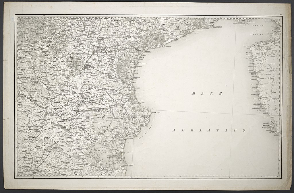
Deutsch: 1 Kt. in 4 Teilen : unkolor. (Gesamtgr. 148 x 90 cm, je Teil 75 x 46 cm); Koordinaten E 8°23'00"-E 11°04'00"/N 45°37'00"-N 44°25'00"; Maßstab in graph. Form (Österreichische Postmeilen oder Viener Klafter). - Nummerierung je rechts oberhalb Kt.-Bild. - Titel, Maßstab und Erkl. der Zeichen unten links (HK 552). - Relief: Schraffen, plastische Gebirgsdarstellung |
| Date | |
| Source | Leibniz-Institut für Länderkunde e.V., Leipzig |
| Author | Institute des K. K. Generalquartiermeisterstabs zu Mailand |
Altkarte; Militärkartographie
Licensing edit
| This file is made available under the Creative Commons CC0 1.0 Universal Public Domain Dedication. | |
| The person who associated a work with this deed has dedicated the work to the public domain by waiving all of their rights to the work worldwide under copyright law, including all related and neighboring rights, to the extent allowed by law. You can copy, modify, distribute and perform the work, even for commercial purposes, all without asking permission.
|
File history
Click on a date/time to view the file as it appeared at that time.
| Date/Time | Thumbnail | Dimensions | User | Comment | |
|---|---|---|---|---|---|
| current | 11:26, 8 October 2018 | | 9,715 × 6,389 (17.85 MB) | Higgenhorscht (talk | contribs) | User created page with UploadWizard |
You cannot overwrite this file.
File usage on Commons
There are no pages that use this file.