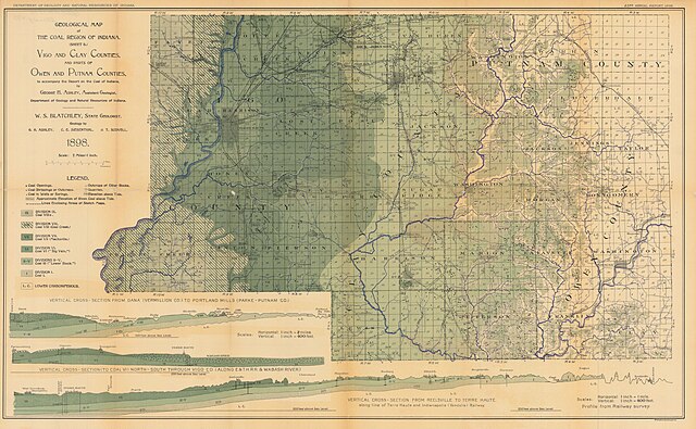
File:Geological map of the Coal Region of Indiana (Sheet B) Vigo and Clay counties, and parts of Owen and Putnam Counties. - DPLA - 8de14d4ffe1ae8b9e306a10e3c7d3865.jpg

Size of this preview: 800 × 494 pixels. Other resolutions: 320 × 197 pixels | 640 × 395 pixels | 1,024 × 632 pixels | 1,280 × 790 pixels | 2,560 × 1,580 pixels | 9,120 × 5,627 pixels.
Original file (9,120 × 5,627 pixels, file size: 7.24 MB, MIME type: image/jpeg)
Captions
Captions
Add a one-line explanation of what this file represents
Summary
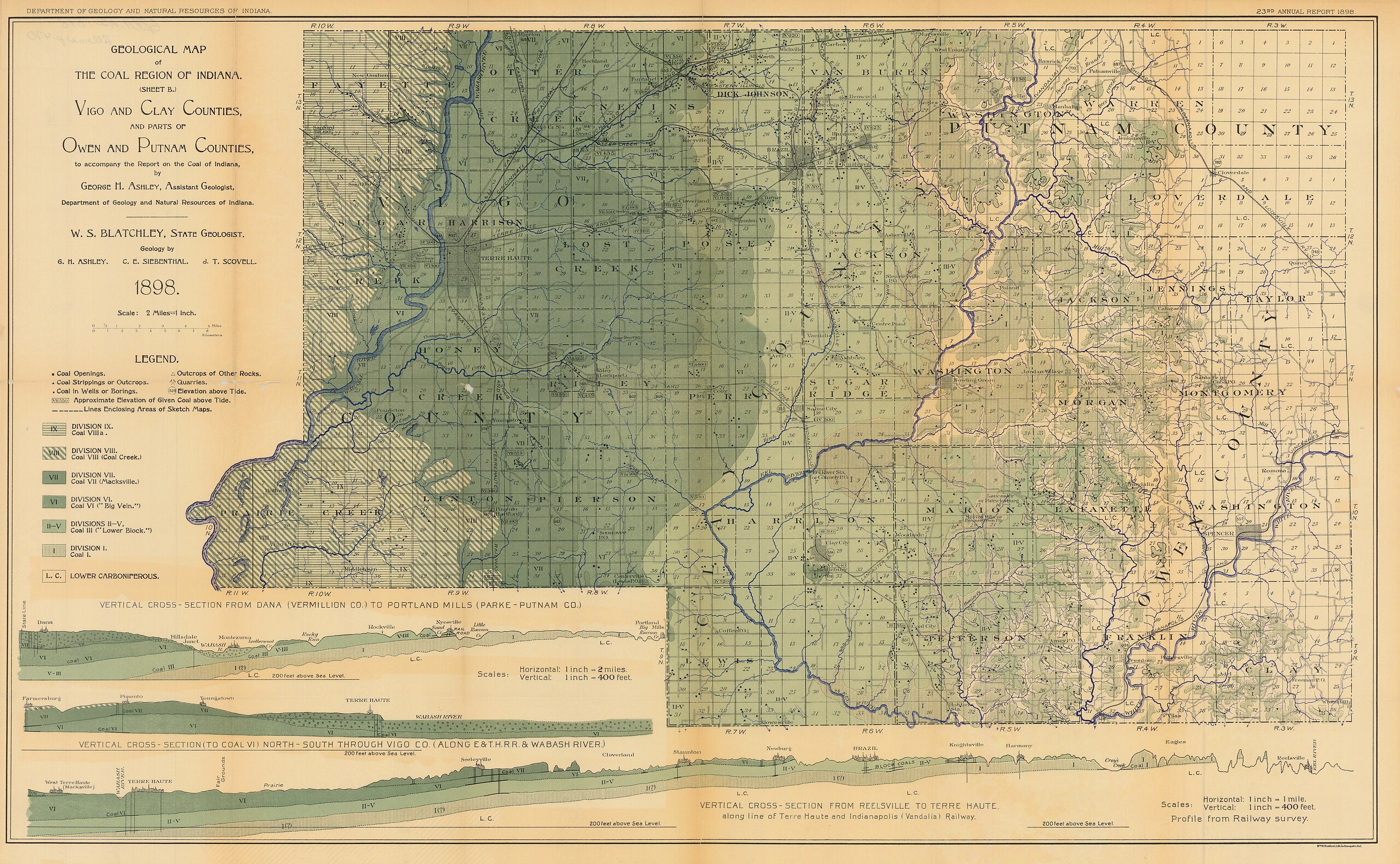
edit| Geological map of the Coal Region of Indiana (Sheet B) Vigo and Clay counties, and parts of Owen and Putnam Counties.
( |
|||||||||||||||||
|---|---|---|---|---|---|---|---|---|---|---|---|---|---|---|---|---|---|
| Creator | Ashley, G. H. , Kindle, E.M., Siebenthal, C.E | ||||||||||||||||
| Title |
Geological map of the Coal Region of Indiana (Sheet B) Vigo and Clay counties, and parts of Owen and Putnam Counties. |
||||||||||||||||
| Description |
Vertical cross-section from Dana (Vermillion co.) to Portland Mills (Parke-Putnam co.) Vertical cross-section (to coal VI) north-south through Vigo co. (along E.&T.H.R.R. & Wabash River); Sheet B scale= 2 miles = 1 inch : Vertical cross section from Dana scale=horizontal: 1 inch=2 miles, vertical: 1 inch=400feet : Vertical cross-section to coal VI scale= horizontal: 1 inch=1 mile, vertical: 1 inch=400feet |
||||||||||||||||
| Date | 1898 | ||||||||||||||||
| Collection |
|
||||||||||||||||
| Source/Photographer |
|
||||||||||||||||
| Permission (Reusing this file) |
Copyright determination made by Indiana University Libraries ( Q58241552) using RightsStatements.org
|
||||||||||||||||


_Vigo_and_Clay_counties,_and_parts_of_Owen_and_Putnam_Counties._-_DPLA_-_8de14d4ffe1ae8b9e306a10e3c7d3865.jpg&action=edit§ion=1)
File history
Click on a date/time to view the file as it appeared at that time.
| Date/Time | Thumbnail | Dimensions | User | Comment | |
|---|---|---|---|---|---|
| current | 00:21, 9 April 2023 | | 9,120 × 5,627 (7.24 MB) | DPLA bot (talk | contribs) | Uploading DPLA ID dpla:8de14d4ffe1ae8b9e306a10e3c7d3865 |
You cannot overwrite this file.
File usage on Commons
The following page uses this file:
_Vigo_and_Clay_counties,_and_parts_of_Owen_and_Putnam_Counties._-_DPLA_-_8de14d4ffe1ae8b9e306a10e3c7d3865.jpg)
_Vigo_and_Clay_counties,_and_parts_of_Owen_and_Putnam_Counties._-_DPLA_-_8de14d4ffe1ae8b9e306a10e3c7d3865.jpg&oldid=749940885)