File:Geologische Karte 40 Witzenhausen (Unterstein).jpg

Size of this preview: 745 × 600 pixels. Other resolutions: 298 × 240 pixels | 596 × 480 pixels | 954 × 768 pixels | 1,261 × 1,015 pixels.
Original file (1,261 × 1,015 pixels, file size: 663 KB, MIME type: image/jpeg)
Captions
Captions
Add a one-line explanation of what this file represents
Summary
edit.jpg&action=edit§ion=1)
| Description |
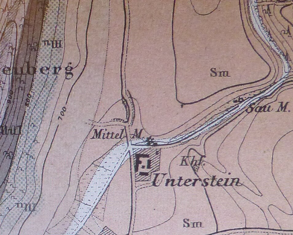
English: Geologische Karte Nr. 40 Witzenhausen : Bildausschnitt Rittergut Unterstein mit Mittelmühle (geognostisch bearbeitet 1876-1878 durch Fr.Moesta, Lith.Anstalt v.Armann&Pillmeier in Cassel, Topogr. Aufnahme des ehem. Kurfürstl.Hess.Generalstabes) |
| Date | between 1876 and 1878 |
| Source | Foto |
| Author | Millos55 |
Licensing
edit.jpg&action=edit§ion=2)
|
This work is in the public domain in its country of origin and other countries and areas where the copyright term is the author's life plus 70 years or fewer. | |
| This file has been identified as being free of known restrictions under copyright law, including all related and neighboring rights. | |
File history
Click on a date/time to view the file as it appeared at that time.
| Date/Time | Thumbnail | Dimensions | User | Comment | |
|---|---|---|---|---|---|
| current | 19:30, 6 February 2022 | | 1,261 × 1,015 (663 KB) | Millos55 (talk | contribs) | Uploaded own work with UploadWizard |
You cannot overwrite this file.
File usage on Commons
The following page uses this file:
.jpg&oldid=673846016)