File:Geology of South Korea - Sainam, Cliff(사인암) (36046814445).jpg

Size of this preview: 800 × 288 pixels. Other resolutions: 320 × 115 pixels | 640 × 230 pixels | 1,024 × 368 pixels | 1,280 × 460 pixels | 2,560 × 921 pixels | 7,226 × 2,599 pixels.
Original file (7,226 × 2,599 pixels, file size: 7.09 MB, MIME type: image/jpeg)
Captions
Captions
Add a one-line explanation of what this file represents
Summary edit
_(36046814445).jpg&action=edit§ion=1)
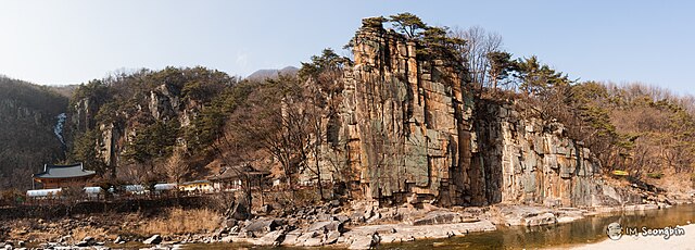
| Description | Rocks in South Korea. |
| Date | |
| Source | Sainam, Cliff(사인암) |
| Author | Seongbin Im from Seoul, Korea, Republic of |
| Camera location | | View this and other nearby images on: OpenStreetMap |
|---|
_(36046814445).jpg¶ms=036.893888_N_0128.340833_E_globe:Earth_type:camera_source:Flickr_&language=en)
Licensing edit
_(36046814445).jpg&action=edit§ion=2)
This file is licensed under the Creative Commons Attribution-Share Alike 2.0 Generic license.
- You are free:
- to share – to copy, distribute and transmit the work
- to remix – to adapt the work
- Under the following conditions:
- attribution – You must give appropriate credit, provide a link to the license, and indicate if changes were made. You may do so in any reasonable manner, but not in any way that suggests the licensor endorses you or your use.
- share alike – If you remix, transform, or build upon the material, you must distribute your contributions under the same or compatible license as the original.
| This image was originally posted to Flickr by golbenge (골뱅이) at https://flickr.com/photos/59899594@N00/36046814445 (archive). It was reviewed on 27 January 2019 by FlickreviewR 2 and was confirmed to be licensed under the terms of the cc-by-sa-2.0. |
File history
Click on a date/time to view the file as it appeared at that time.
| Date/Time | Thumbnail | Dimensions | User | Comment | |
|---|---|---|---|---|---|
| current | 23:38, 27 January 2019 | 7,226 × 2,599 (7.09 MB) | GeoWriter (talk | contribs) | Transferred from Flickr via #flickr2commons |
You cannot overwrite this file.
File usage on Commons
There are no pages that use this file.
_(36046814445).jpg&oldid=465491705)