File:Germany (+districts +municipalities) location map current.svg

Size of this PNG preview of this SVG file: 509 × 599 pixels. Other resolutions: 204 × 240 pixels | 408 × 480 pixels | 652 × 768 pixels | 869 × 1,024 pixels | 1,739 × 2,048 pixels | 1,779 × 2,095 pixels.
Original file (SVG file, nominally 1,779 × 2,095 pixels, file size: 25.26 MB)
Captions
Captions
Add a one-line explanation of what this file represents

|
This file may be updated to reflect new information. If you wish to use a specific version of the file without new updates being mirrored, please upload the required version as a separate file. |

|
This file requires updating because: see User_talk:JoKalliauer#File:Germany_(+districts_+municipalities)_location_map_current.svg In doing so, you could add a timestamp to the file.
|
Summary edit
| Description |
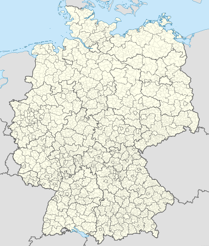
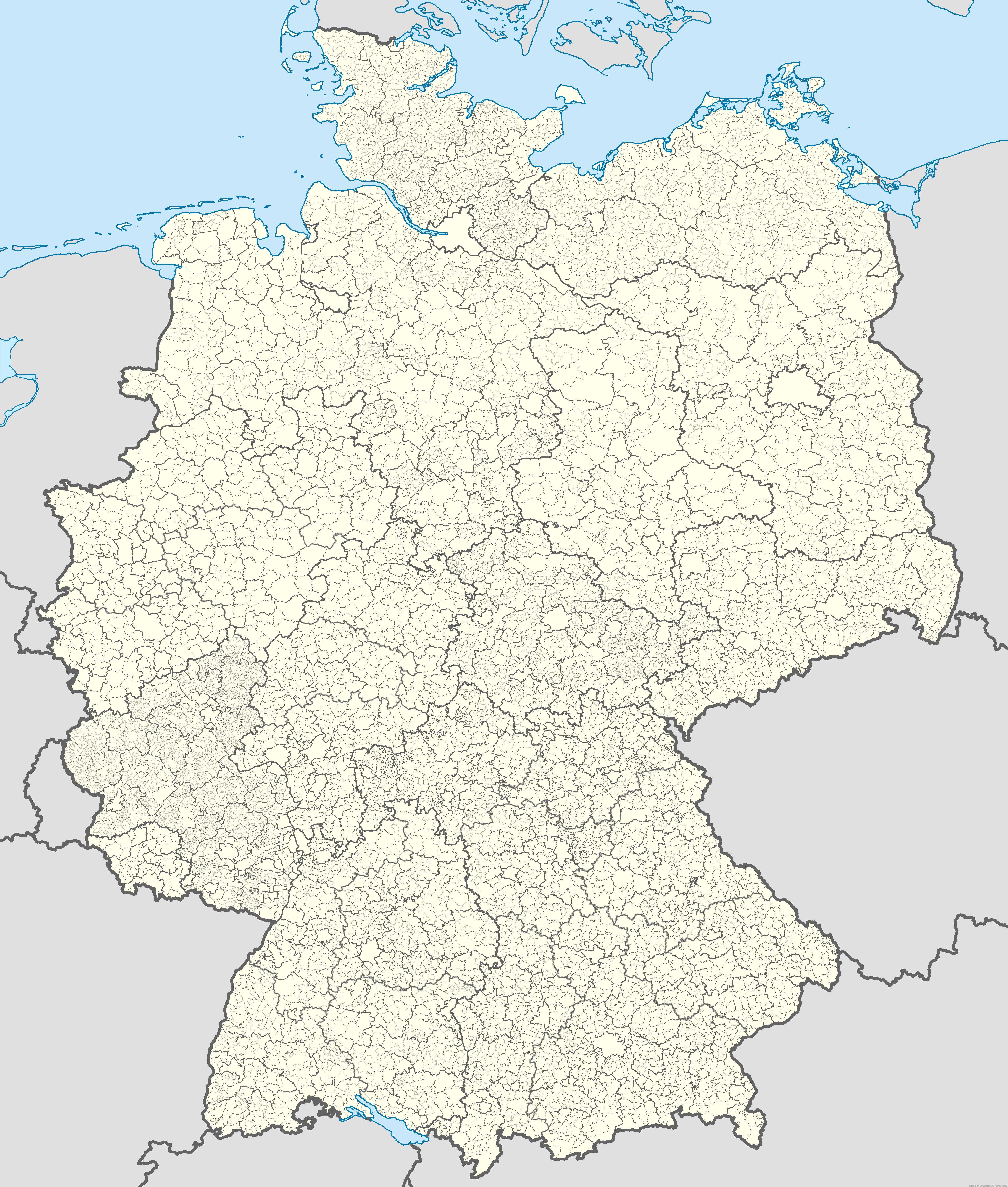
Deutsch: Positionskarte von Deutschland mit Grenzen der Regierungsbezirke, Landkreise, kreisfreien Städte, Kommunen und Kommunalverbände.
Quadratische Plattkarte, N-S-Streckung 150 %. Geographische Begrenzung der Karte:
English: Location map of Germany with states, districts, municipalities
Equirectangular projection, N/S stretching 150 %. Geographic limits of the map:
|
| Date | |
| Source |
|
| Author |
TUBS |
| Permission (Reusing this file) |
Deutsch: Wichtiger Hinweise bzgl. „© GeoBasis-DE / BKG 2013-Daten“ gem. Verordnung zur Festlegung der Nutzungsbestimmungen für die Bereitstellung von Geodaten des Bundes vom 19. März 2013 (BGBl. I S. 547) (GEoNutzV). Die Rechstfolgen der GeoNutzV sind unklar, besonders bzgl. abgeleiteter Dateien, inbes. bei Einarbeitung anders lizenzierter Daten. Es dürfte daher ratsam sein, die BKG-Quellenangaben immer auch in allen abgeleiteten Werken anzugeben. English: Important note for all data attributed © GeoBasis-DE / BKG 2013 according Verordnung zur Festlegung der Nutzungsbestimmungen für die Bereitstellung von Geodaten des Bundes vom 19. März 2013 (BGBl. I S. 547) (GEoNutzV). It's not clear what this act implies in terms of which licenses are applicable for derived works especially those where differently licensed data is incorporated. It may be best to keep the attribution to BKG-data in every file derived. |
| Other versions |
|
| SVG development | This oversized locator map was created with Adobe Illustrator. and with QGIS. |
_location_map_2013.svg)

_location_map.svg)
_location_map.png)
_location_map_current.svg)
_location_map_current.svg&action=edit§ion=1)
Licensing edit
_location_map_current.svg&action=edit§ion=2)
Original data for all borders within Germany: © GeoBasis-DE / BKG 2013 according Verordnung zur Festlegung der Nutzungsbestimmungen für die Bereitstellung von Geodaten des Bundes vom 19. März 2013 (BGBl. I S. 547) (GEoNutzV)
I, the copyright holder of this work, hereby publish it under the following licenses:
This file is licensed under the Creative Commons Attribution-Share Alike 3.0 Unported license.
- You are free:
- to share – to copy, distribute and transmit the work
- to remix – to adapt the work
- Under the following conditions:
- attribution – You must give appropriate credit, provide a link to the license, and indicate if changes were made. You may do so in any reasonable manner, but not in any way that suggests the licensor endorses you or your use.
- share alike – If you remix, transform, or build upon the material, you must distribute your contributions under the same or compatible license as the original.

|
Permission is granted to copy, distribute and/or modify this document under the terms of the GNU Free Documentation License, Version 1.2 or any later version published by the Free Software Foundation; with no Invariant Sections, no Front-Cover Texts, and no Back-Cover Texts. A copy of the license is included in the section entitled GNU Free Documentation License. |
You may select the license of your choice.

|
I'd greatly appreciate, that you attribute this media file to Wikimedia Commons, if used outside Wikipedia or Commons. For use in publications such as books, newspapers, blogs, websites, please insert here the following line:
|
_location_map_current.svg)
File history
Click on a date/time to view the file as it appeared at that time.
| Date/Time | Thumbnail | Dimensions | User | Comment | |
|---|---|---|---|---|---|
| current | 18:59, 23 August 2019 | | 1,779 × 2,095 (25.26 MB) | JoKalliauer (talk | contribs) | id="Landkreis_Göttingen", data-name="Landkreis_Göttingen" see: w:de:Landkreis_Göttingen#Neubildung_2016 (got an E-Mail) |
You cannot overwrite this file.
File usage on Commons
The following page uses this file:
_location_map_current.svg)
File usage on other wikis
The following other wikis use this file:
- Usage on als.wikipedia.org
- Usage on ast.wikipedia.org
- Usage on de.wikipedia.org
- Usage on es.wikipedia.org
- Usage on fi.wikipedia.org
- Usage on pl.wikipedia.org
_location_map_current.svg&oldid=822590843)