File:Ginseldorf-Schoenstaedter Bucht 2024-02-05 (Elop).jpg

Size of this preview: 800 × 301 pixels. Other resolutions: 320 × 120 pixels | 640 × 240 pixels | 1,024 × 385 pixels | 1,280 × 481 pixels | 2,560 × 962 pixels | 6,204 × 2,331 pixels.
Original file (6,204 × 2,331 pixels, file size: 1.32 MB, MIME type: image/jpeg)
Captions
Captions
Add a one-line explanation of what this file represents
Summary
edit.jpg&action=edit§ion=1)
| Description |
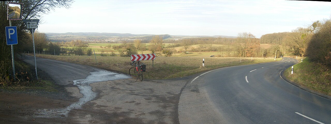
Deutsch: Blick vom Rücken Bauerbachs zur Ginseldorf-Schönstädter Bucht; halblinks und größtenteils durch Bäume verdeckt Ginseldorf, in der Bildmitte Bürgeln, links im Hintergrund das Höhendorf Reddehausen, rechts davon der Hügel des Flugplatzes Schönstadt (257 m), rechts davon Schönstadt "über" Bürgeln; in der Bildmitte die Bewaldung des Hornbühl (293 m), rechts dahinter der Große Hirschberg (361 m) am Forsthaus Bracht im randlichen Nördlichen Burgwald, am rechten Hornbühl-Hang die höher gelegenen Teile von Betziesdorf. Im eigentlichen Burgwald sind von links nach rechts vage zu erkennen die Geiersköpfe (bis 412 m) bei Mellnau, über dem rechten Ende von Reddehausen die Stirnhelle (387,5 m) bei Oberrosphe, übergehend in den etwa gleich hohen Gerlachsberg (387,6 m) und schließlich die Geiershöh (um 406 m); rechts der Einkerbung der Tauschenberg (406,7 m), mit nur leichter Scharte übergehend in die Ommelburg (383 m); rechts hinter Schönstadt die etwa 365 m hohe Basis des Rückens Saurüssel; rechts von Hornbühl und Großem Hirschberg der Alter Rauschenberg (376 m), Hauptberg des Kleinen Burgwalds. Der 30 km entfernte Kellerwald mit dem 551 m hohen Pferdsberg ist rechts hinter dem Hirschberg der eingeschränkten Fernsicht wegen nur vage erkennbar. Siehe Udeuschle. |
| Date | |
| Source | Own work |
| Author | User:Elop; Stitch (3 Bilder) |
| Camera location | | View this and other nearby images on: OpenStreetMap |
|---|
.jpg¶ms=050.824660_N_0008.824790_E_globe:Earth_type:camera__&language=en)
Licensing
edit.jpg&action=edit§ion=2)
I, the copyright holder of this work, hereby publish it under the following licenses:

|
Permission is granted to copy, distribute and/or modify this document under the terms of the GNU Free Documentation License, Version 1.2 or any later version published by the Free Software Foundation; with no Invariant Sections, no Front-Cover Texts, and no Back-Cover Texts. A copy of the license is included in the section entitled GNU Free Documentation License. |
This file is licensed under the Creative Commons Attribution-Share Alike 3.0 Unported license.
- You are free:
- to share – to copy, distribute and transmit the work
- to remix – to adapt the work
- Under the following conditions:
- attribution – You must give appropriate credit, provide a link to the license, and indicate if changes were made. You may do so in any reasonable manner, but not in any way that suggests the licensor endorses you or your use.
- share alike – If you remix, transform, or build upon the material, you must distribute your contributions under the same or compatible license as the original.
You may select the license of your choice.
File history
Click on a date/time to view the file as it appeared at that time.
| Date/Time | Thumbnail | Dimensions | User | Comment | |
|---|---|---|---|---|---|
| current | 22:11, 12 February 2024 | 6,204 × 2,331 (1.32 MB) | Elop (talk | contribs) | == {{int:filedesc}} == {{Information |Description={{de|1= Blick vom Rücken Marburg|Bauerbachs zur Ginseldorf-Schönstädter Bucht; halblinks und größtrenteils durch Bäumeverdeckt de:Ginseldorf, in der Bildmitte Bürgeln, links im Hintergrund das Höhendorf de:Reddehausen, rechts davon der Hügel des Flugplatzes Schönstadt, rechts davon [[:de:Schönstadt (Cölbe... |
You cannot overwrite this file.
File usage on Commons
The following 2 pages use this file:
File usage on other wikis
The following other wikis use this file:
- Usage on de.wikipedia.org
.jpg&oldid=870650866)