File:Gloucester Eastgate railway station (site), Gloucestershire (geograph 5186911).jpg

Size of this preview: 800 × 600 pixels. Other resolutions: 320 × 240 pixels | 640 × 480 pixels | 1,024 × 768 pixels | 1,280 × 960 pixels | 1,600 × 1,200 pixels.
Original file (1,600 × 1,200 pixels, file size: 294 KB, MIME type: image/jpeg)
Captions
Captions
Add a one-line explanation of what this file represents
Summary
edit,_Gloucestershire_(geograph_5186911).jpg&action=edit§ion=1)
| Description |
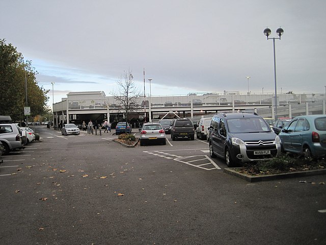
English: Gloucester Eastgate railway station (site), Gloucestershire Opened in 1896 by the Midland Railway to replace terminus platforms dating from 1840 adjacent to the current Gloucester (formerly Central) station, this station closed in 1975. The site has been completely redeveloped for a supermarket. View north east towards Churchdown and Cheltenham Spa. The platforms curved round to the right to allow through running from Bristol to Cheltenham Spa without the need for trains to reverse, which had been a problem with the 1840 station. Since this station closed, trains from Bristol to Cheltenham Spa which call at Gloucester now have to reverse again, just like they did in 1841... |
| Date | |
| Source | From geograph.org.uk |
| Author | Nigel Thompson |
| Permission (Reusing this file) |
Creative Commons Attribution Share-alike license 2.0 |
| Attribution (required by the license) | Nigel Thompson / Gloucester Eastgate railway station (site), Gloucestershire / |
| Camera location | | View this and other nearby images on: OpenStreetMap |
|---|
,_Gloucestershire_(geograph_5186911).jpg¶ms=051.861962_N_-002.237815_E_globe:Earth_type:camera_source:geograph-osgb36(SO83721818)_heading:45.00&language=en)
| Object location | | View this and other nearby images on: OpenStreetMap |
|---|
,_Gloucestershire_(geograph_5186911).jpg¶ms=051.862590_N_-002.236800_E_globe:Earth_class:object_type:object_source:geograph-osgb36(SO83791825)_heading:45.00&language=en)
Licensing
edit,_Gloucestershire_(geograph_5186911).jpg&action=edit§ion=2)

|
This image was taken from the Geograph project collection. See this photograph's page on the Geograph website for the photographer's contact details. The copyright on this image is owned by Nigel Thompson and is licensed for reuse under the Creative Commons Attribution-ShareAlike 2.0 license.
|
This file is licensed under the Creative Commons Attribution-Share Alike 2.0 Generic license.
Attribution: Nigel Thompson
- You are free:
- to share – to copy, distribute and transmit the work
- to remix – to adapt the work
- Under the following conditions:
- attribution – You must give appropriate credit, provide a link to the license, and indicate if changes were made. You may do so in any reasonable manner, but not in any way that suggests the licensor endorses you or your use.
- share alike – If you remix, transform, or build upon the material, you must distribute your contributions under the same or compatible license as the original.
File history
Click on a date/time to view the file as it appeared at that time.
| Date/Time | Thumbnail | Dimensions | User | Comment | |
|---|---|---|---|---|---|
| current | 13:00, 25 December 2019 | | 1,600 × 1,200 (294 KB) | Lamberhurst (talk | contribs) | Transferred from geograph.co.uk using [https://tools.wmflabs.org/geograph2commons/ geograph2commons] |
You cannot overwrite this file.
File usage on Commons
The following page uses this file:
,_Gloucestershire_(geograph_5186911).jpg&oldid=547135331)