File:Golan Heights Wind Farm - panoramio.jpg

Size of this preview: 400 × 600 pixels. Other resolutions: 160 × 240 pixels | 320 × 480 pixels | 512 × 768 pixels | 682 × 1,024 pixels | 1,365 × 2,048 pixels | 2,592 × 3,888 pixels.
Original file (2,592 × 3,888 pixels, file size: 5.78 MB, MIME type: image/jpeg)
Captions
Captions
Add a one-line explanation of what this file represents
Summary
edit
| Description |
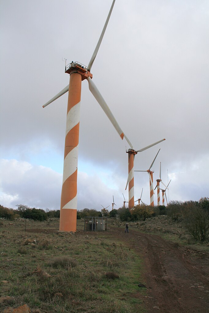
English: Golan Heights Wind Farm |
||
| Date | Taken on 8 January 2011 | ||
| Source | https://web.archive.org/web/20161027021547/http://www.panoramio.com/photo/76311201 | ||
| Author | Yuri Raysper | ||
| Permission (Reusing this file) |
This file is licensed under the Creative Commons Attribution 3.0 Unported license. Attribution: Yuri Raysper
|
||
| Tags (from Panoramio photo page) | 2011, Golan Heights, Israel, landscape, Mount Bnei Rasan, Power Station, Wind farm, Голанские высоты, Израиль, הר בני רסן, ישראל |
| Camera location | | View this and other nearby images on: OpenStreetMap |
|---|
File history
Click on a date/time to view the file as it appeared at that time.
| Date/Time | Thumbnail | Dimensions | User | Comment | |
|---|---|---|---|---|---|
| current | 01:12, 10 January 2017 | | 2,592 × 3,888 (5.78 MB) | Panoramio upload bot (talk | contribs) | == {{int:filedesc}} == {{Information |description=Golan Heights Wind Farm |date={{Taken on|2011-01-08}} |source=http://www.panoramio.com/photo/76311201 |author=[http://www.panoramio.com/user/5552871?with_photo_id=76311201 Yuri Raysper] |permission={{cc... |
You cannot overwrite this file.
File usage on Commons
The following page uses this file: