File:Goleszów (gmina) location map.png

Original file (1,971 × 2,007 pixels, file size: 818 KB, MIME type: image/png)
Captions
Captions
Summary
edit_location_map.png&action=edit§ion=1)
| Description |
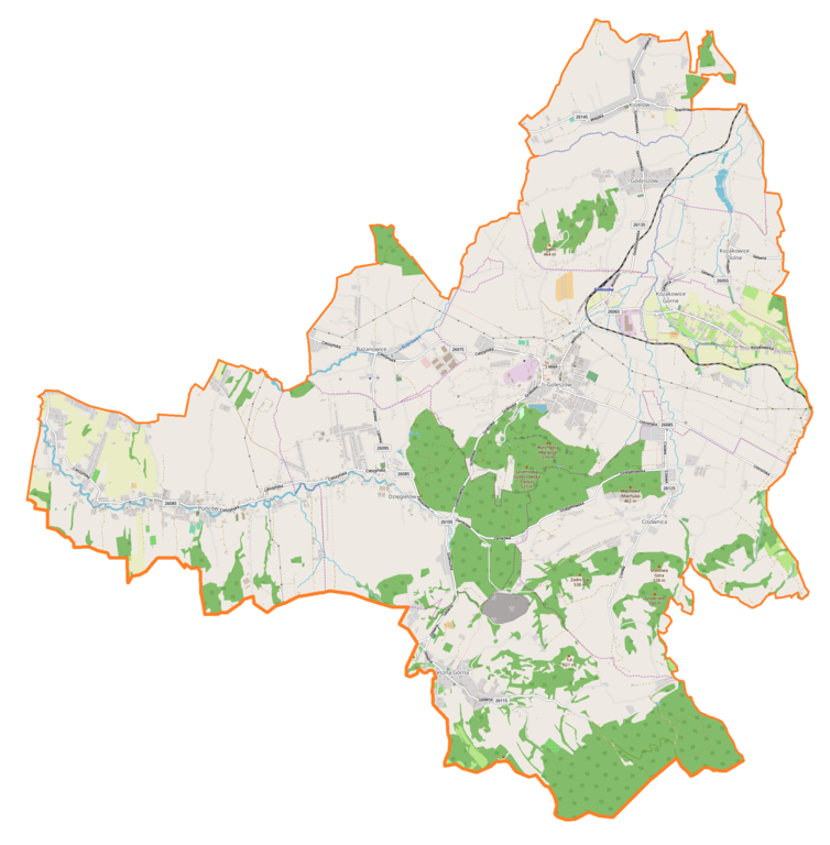
English: Location map |
| Date | |
| Source | Own work |
| Author | Smat |
| Description |
Polski: Mapa gminy Goleszów, Polska
English: Map of Goleszów (gmina), Poland |
|||||||||
| Date | ||||||||||
| Source | You may find a page on the OpenStreetMap wiki page for Goleszów (gmina) | |||||||||
| Creator |
OpenStreetMap contributors OpenStreetMap contributors |
|||||||||
| Permission (Reusing this file) |
OpenStreetMap data is available under the Open Database License (details). Map tiles are licensed under the Creative Commons Attribution-ShareAlike 2.0 license (CC-BY-SA 2.0).
This file is licensed under the Creative Commons Attribution-Share Alike 2.0 Generic license.
|
|||||||||
| Geotemporal data | ||||||||||
| Bounding box |
|
|||||||||
| Georeferencing | If inappropriate please set warp_status = skip to hide. | |||||||||
Licensing
edit_location_map.png&action=edit§ion=2)
| This work contains information from OpenStreetMap, which is made available under the Open Database License (ODbL).
The ODbL does not require any particular license for maps produced from ODbL data. Prior to 1 August 2020, map tiles produced by the OpenStreetMap Foundation were licensed under the CC-BY-SA-2.0 license. Maps produced by other people may be subject to other licences. |
File history
Click on a date/time to view the file as it appeared at that time.
| Date/Time | Thumbnail | Dimensions | User | Comment | |
|---|---|---|---|---|---|
| current | 14:56, 22 September 2018 | | 1,971 × 2,007 (818 KB) | Smat (talk | contribs) | User created page with UploadWizard |
You cannot overwrite this file.
File usage on Commons
There are no pages that use this file.
File usage on other wikis
The following other wikis use this file:
- Usage on pl.wikipedia.org
- Goleszów (województwo śląskie)
- Bażanowice
- Puńców
- Cisownica
- Dzięgielów
- Godziszów (województwo śląskie)
- Kisielów (województwo śląskie)
- Leszna Górna
- Kozakowice Dolne
- Kozakowice Górne
- Kompleks skoczni narciarskich w Goleszowie
- Rezerwat przyrody Zadni Gaj
- Goleszów (stacja kolejowa)
- Goleszów Górny
- Bażanowice (przystanek kolejowy)
- Parafia św. Jerzego w Puńcowie
- Parafia św. Michała Archanioła w Goleszowie
- Parafia Ewangelicko-Augsburska w Goleszowie
- Parafia Ewangelicko-Augsburska w Dzięgielowie
- Parafia Ewangelicko-Augsburska w Cisownicy
- Parafia św. Marcina w Lesznej Górnej
- Przejście graniczne Leszna Górna-Horní Líštná
- Zagoj
- Zamek w Dzięgielowie
- Kościół św. Jerzego w Puńcowie
- Przejście graniczne Puńców-Kojkovice
- Przejście graniczne Cisownica-Nýdek
- Kościół ewangelicki w Goleszowie
- Kościół św. Michała Archanioła w Goleszowie
- Graniczna Placówka Kontrolna Straży Granicznej w Lesznej Górnej
- Placówka Straży Granicznej w Lesznej Górnej
- Kościół ewangelicki w Bażanowicach
- Kościół Jana Chrzciciela w Puńcowie
- Kościół Świętej Trójcy w Lesznej Górnej
- Kościół ewangelicki w Kisielowie
- Kaplica ewangelicka w Godziszowie
- Kaplica ewangelicka w Kozakowicach Dolnych
- Kościół Jana Chrzciciela w Cisownicy
- Kościół „Eben-Ezer” w Dzięgielowie
- Cmentarz komunalny w Dzięgielowie
- Moduł:Mapa/dane/Goleszów (gmina)
- Cementownia w Goleszowie
- Golleschau
- Usage on pl.wikibooks.org
_location_map.png&oldid=607600242)