File:Graham County Incorporated and Unincorporated areas Peridot highlighted.svg

Size of this PNG preview of this SVG file: 600 × 600 pixels. Other resolutions: 240 × 240 pixels | 480 × 480 pixels | 768 × 768 pixels | 1,024 × 1,024 pixels | 2,048 × 2,048 pixels.
Original file (SVG file, nominally 800 × 800 pixels, file size: 103 KB)
Captions
Captions
Add a one-line explanation of what this file represents
Summary edit
| Description |
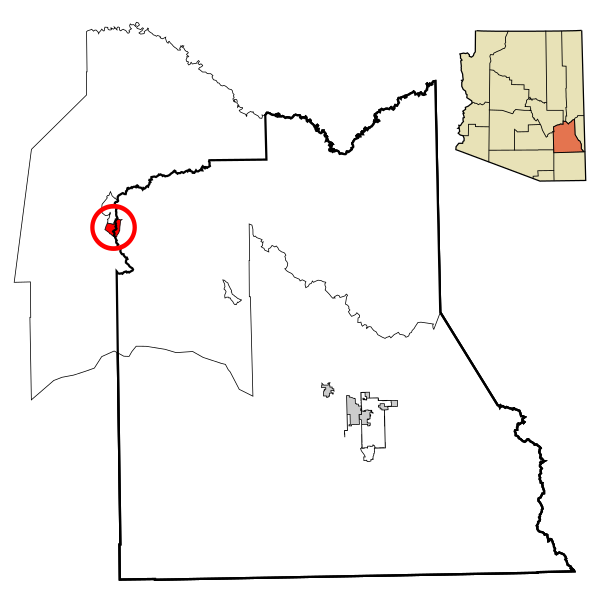
This map shows the incorporated areas and unincorporated areas in Graham County, Arizona.
|
| Date | |
| Source | My own work, based on public domain information |
| Author |
This W3C-invalid vector image was created with Inkscape by Ixnayonthetimmay-default |
| Other versions | See Maps of Graham County, Arizona for other versions of this image. |
Licensing edit
| I, the copyright holder of this work, release this work into the public domain. This applies worldwide. In some countries this may not be legally possible; if so: I grant anyone the right to use this work for any purpose, without any conditions, unless such conditions are required by law. |
File history
Click on a date/time to view the file as it appeared at that time.
| Date/Time | Thumbnail | Dimensions | User | Comment | |
|---|---|---|---|---|---|
| current | 20:34, 9 March 2007 | | 800 × 800 (103 KB) | Ixnayonthetimmay (talk | contribs) | {{Information |Description=This map shows the incorporated areas and unincorporated areas in Graham County, Arizona. Peridot is highli |
You cannot overwrite this file.
File usage on Commons
There are no pages that use this file.
File usage on other wikis
The following other wikis use this file:
- Usage on it.wikipedia.org